Air Ambulance Helicopter to Egglescliffe, Urlay Nook Road
Saturday, 2 May 2026 | 10:40 | From Egglescliffe
On Saturday, 2 May 2026 at 10:40, a Air Ambulance Helicopter departed from Egglescliffe to Egglescliffe. It was the Air Ambulance Helicopter with registration number G-NHAD. The flight lasted 8 minutes. During that period, the aircraft travelled 14 miles at an average speed of 101 miles per hour at a maximum altitude of 1175 feet.
Helicopter: G-NHAD
The helicopter G-NHAD is used as a air ambulance helicopter. The main purpose of this aircraft is to transport a Mobile Medical Team to an incident as quickly as possible, enabling the trauma doctor to provide immediate first aid on site. The aircraft is flying this flight as Air Ambulance Helicopter.
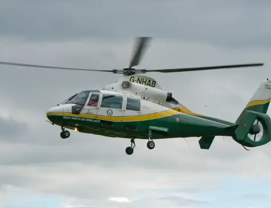
Photo: Samloynes 1
14 miles
1175 feet
101 mph
9 minutes
10:40
10:49

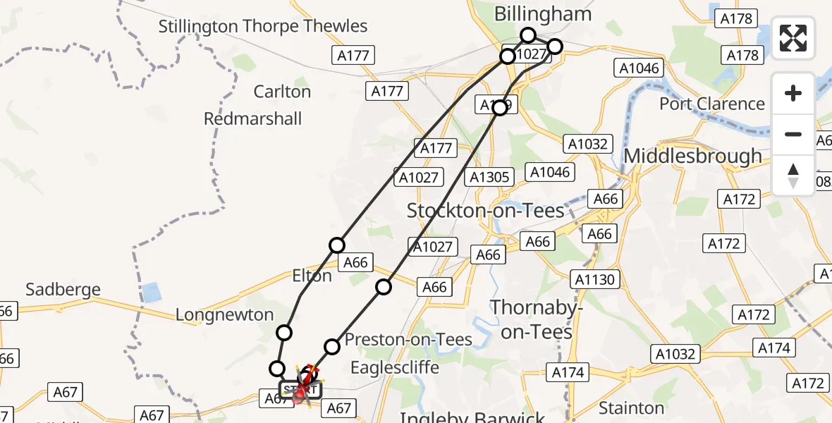
Route
Urlay Nook Road, Stockton-on-Tees10:49
Egglescliffe, Stockton-on-Tees10:48
Elton, Stockton-on-Tees10:48
Egglescliffe, Stockton-on-Tees10:48
Elton, Stockton-on-Tees10:47
Stockton-on-Tees, Stockton-on-Tees10:45
Billingham, Stockton-on-Tees10:44
Stockton-on-Tees, Stockton-on-Tees10:44
Billingham, Stockton-on-Tees10:43
Stockton-on-Tees, Stockton-on-Tees10:42
Longnewton, Stockton-on-Tees10:41
Elton, Stockton-on-Tees10:41
Longnewton Lane, Stockton-on-Tees10:40
Live flights
Today
Flights Egglescliffe
Air Ambulance Helicopter to Egglescliffe, A6713 Jul 15:39
Air Ambulance Helicopter to Egglescliffe, A6713 Jul 13:57
Air Ambulance Helicopter to Egglescliffe10 Jul 15:36
Helicopter flights on your website?
You can easily display helicopter flights on your own website. Use the embed code.
