Air Ambulance Helicopter to Whicham
Saturday, 2 May 2026 | 10:06 | From Blackpool Airport
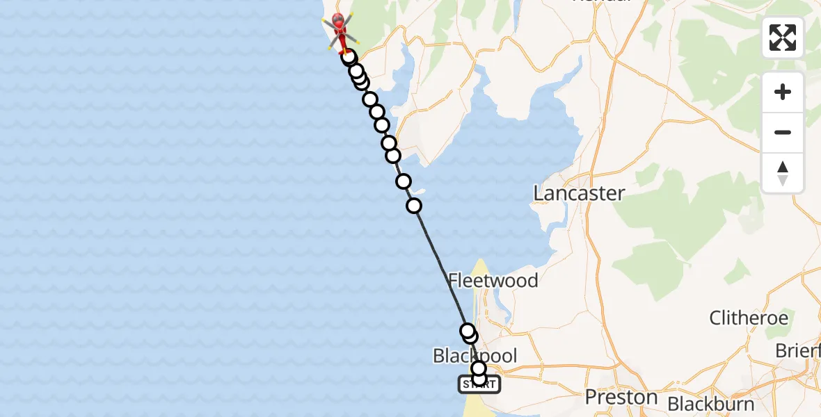
On Saturday, 2 May 2026 at 10:06, a Air Ambulance Helicopter departed from Blackpool Airport to Whicham. It was the Air Ambulance Helicopter with registration number G-NWAA. The flight lasted 15 minutes. During that period, the aircraft travelled 37 miles at an average speed of 150 miles per hour at a maximum altitude of 1025 feet.
Helicopter: G-NWAA
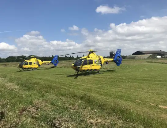
The helicopter G-NWAA is used as a air ambulance helicopter. The main purpose of this aircraft is to transport a Mobile Medical Team to an incident as quickly as possible, enabling the trauma doctor to provide immediate first aid on site. The aircraft is flying this flight as Air Ambulance Helicopter.
Photo: Legion23
37 miles
1025 feet
150 mph
15 minutes
10:06
10:20

Route
Whicham, Cumberland10:20
Whitbeck, Cumberland10:20
Whicham, Cumberland10:19
Silecroft, Cumberland10:19
Kirksanton, Cumberland10:19
RAF Millom, Millom, Cumbria10:18
Millom, Cumberland10:18
Askam and Ireleth, Westmorland and Furness10:17
Barrow, Westmorland and Furness10:17
Barrow Walney Island Airport, Barrow-in-Furness10:16
Barrow-in-Furness, Westmorland and Furness10:15
Biggar, Westmorland and Furness10:14
Barrow, Westmorland and Furness10:13
Irish Sea10:08
Bispham, Blackpool10:08
Blackpool, Blackpool10:06
Common Edge, Blackpool10:06
Squires Gate Lane, Lancashire10:06
Live flights
Today
Flights Whicham
Helicopter flights on your website?
You can easily display helicopter flights on your own website. Use the embed code.
