Air Ambulance Helicopter to Rotherham, Rotherstoke Close
Friday, 1 May 2026 | 16:05 | From YAA Nostell Helicopter Port
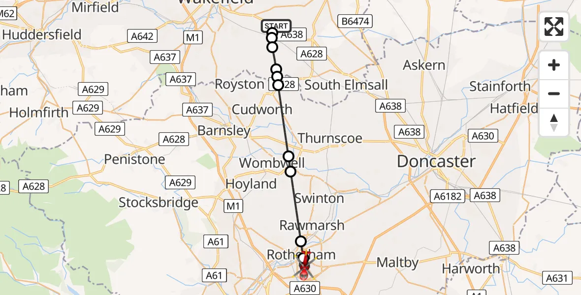
On Friday, 1 May 2026 at 16:05, a Air Ambulance Helicopter departed from YAA Nostell Helicopter Port to Rotherham. It was the Air Ambulance Helicopter with registration number G-YAAA. The flight lasted 16 minutes. During that period, the aircraft travelled 23 miles at an average speed of 86 miles per hour at a maximum altitude of 1425 feet.
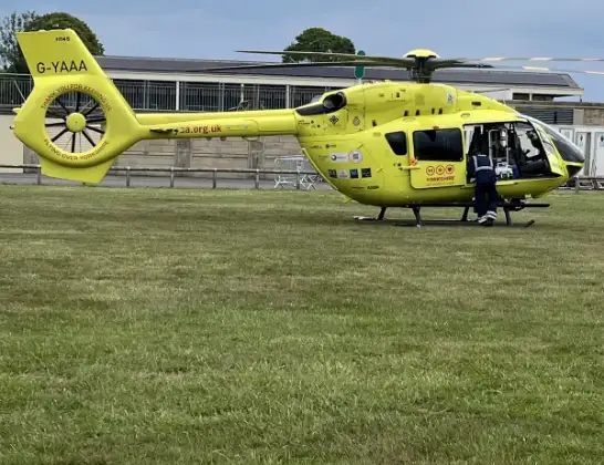
Helicopter: G-YAAA
The helicopter G-YAAA is used as a air ambulance helicopter. The main purpose of this aircraft is to transport a Mobile Medical Team to an incident as quickly as possible, enabling the trauma doctor to provide immediate first aid on site. The aircraft is flying this flight as Air Ambulance Helicopter.
Photo: Jennifer Petrie
24 miles
1425 feet
86 mph
17 minutes
16:05
16:22

Route
Rotherham, Rotherham16:22
Rotherstoke Close, South Yorkshire - Rotherham16:22
Heather Close, South Yorkshire - Rotherham16:21
Broom Valley Road, South Yorkshire - Rotherham16:19
Heather Close, South Yorkshire - Rotherham16:19
Rotherham, Rotherham16:14
Rawmarsh, Rotherham16:13
Rotherham, Rotherham16:11
Wombwell, Barnsley16:10
Barnsley, Barnsley16:08
Barnsley, Wakefield16:08
South Hiendley, Wakefield16:08
Havercroft, Wakefield16:07
Nostell, Wakefield16:06
Sharlston, Wakefield16:06
YAA Nostell Helicopter Port, Foulby, Nostell, Yorkshire16:05
Live flights
Today
Flights Rotherham
Police Helicopter to Hawarden Airport9 Jun 02:14
Helicopter flights on your website?
You can easily display helicopter flights on your own website. Use the embed code.
