Air Ambulance Helicopter to Harold Hill, Noak Hill Road
Thursday, 30 April 2026 | 15:55 | From Royal London Hospital
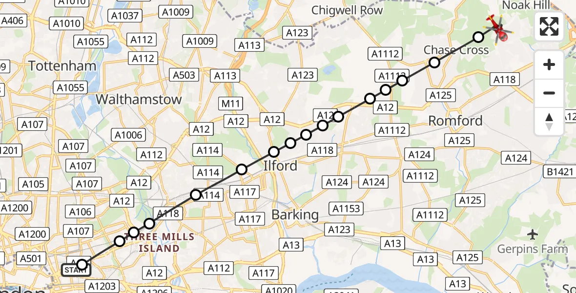
On Thursday, 30 April 2026 at 15:55, a Air Ambulance Helicopter departed from Royal London Hospital to Harold Hill. It was the Air Ambulance Helicopter with registration number G-LAAB. The flight lasted 12 minutes. During that period, the aircraft travelled 14 miles at an average speed of 72 miles per hour at a maximum altitude of 925 feet.
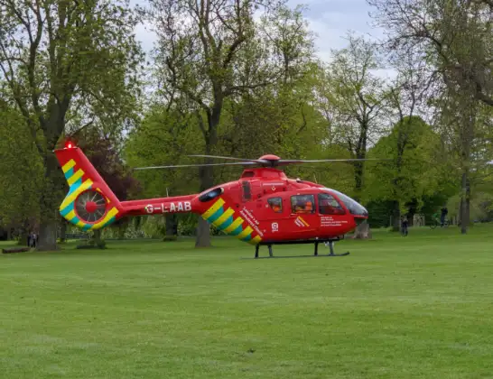
Helicopter: G-LAAB
The helicopter G-LAAB is used as a air ambulance helicopter. The main purpose of this aircraft is to transport a Mobile Medical Team to an incident as quickly as possible, enabling the trauma doctor to provide immediate first aid on site. The aircraft is flying this flight as Air Ambulance Helicopter.
Photo: Celsoazevedo
15 miles
925 feet
72 mph
12 minutes
15:55
16:07

Route
Noak Hill Road, Greater London - Havering16:07
Harold Hill, Havering16:06
Collier Row, Havering16:05
Marks Gate, Havering16:05
Marks Gate, Barking and Dagenham16:04
Little Heath, Barking and Dagenham16:04
Little Heath, Redbridge16:04
Newbury Park, Redbridge16:03
Seven Kings, Redbridge16:03
Newbury Park, Redbridge16:03
Gants Hill, Redbridge16:03
Manor Park, Redbridge16:02
Forest Gate, Newham16:01
Stratford, Newham16:01
Bow, Tower Hamlets16:00
Mile End, Tower Hamlets16:00
Stepney, Tower Hamlets15:59
Royal London Hospital, London15:58
Royal London Hospital, London15:55
Live flights
Today
Coastguard Helicopter to Inverness Airport29 Jul 23:41
Helicopter flights on your website?
You can easily display helicopter flights on your own website. Use the embed code.
