Police Helicopter to MOD St Athan
Thursday, 30 April 2026 | 10:40 | From Llanmaes
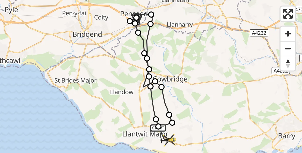
On Thursday, 30 April 2026 at 10:40, a Police Helicopter departed from Llanmaes to MOD St Athan. It was the Police Helicopter with registration number G-NWOI. The flight lasted 23 minutes. During that period, the aircraft travelled 32 miles at an average speed of 84 miles per hour at a maximum altitude of 1225 feet.
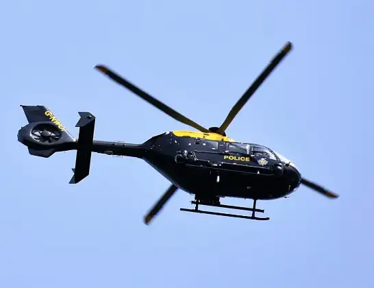
Helicopter: G-NWOI
The helicopter G-NWOI is used by the British police. The helicopter is deployed in pursuits, missing persons cases and other incidents where a helicopter provides added value.
Photo: Alec Wilson
32 miles
1225 feet
84 mph
24 minutes
10:40
11:03

Route
MOD St Athan, St Athan, Vale of Glamorgan11:03
Boverton, Vale of Glamorgan11:02
Llanmaes, Vale of Glamorgan11:02
Sigingstone, Vale of Glamorgan11:01
Llysworney, Vale of Glamorgan11:00
Penllyn, Vale of Glamorgan11:00
Graig Penllyn, Vale of Glamorgan10:59
Llanilid, Rhondda Cynon Taf10:58
Pencoed, Bridgend10:49
Coychurch, Bridgend10:49
Pencoed, Bridgend10:43
Llangan, Vale of Glamorgan10:43
Graig Penllyn, Vale of Glamorgan10:42
Penllyn, Vale of Glamorgan10:42
Llysworney, Vale of Glamorgan10:41
Sigingstone, Vale of Glamorgan10:41
St Mary Church, Vale of Glamorgan10:40
Eglwys Brewis, Vale of Glamorgan10:40
Llanmaes, Vale of Glamorgan10:40
Live flights
Today
Flights Llanmaes
Police Helicopter to MOD St Athan27 May 20:50
Police Helicopter to St Athan, West Aberthaw27 May 19:26
Police Helicopter to MOD St Athan27 May 10:09
Police Helicopter to MOD St Athan26 May 09:47
Police Helicopter to Gileston25 May 16:11
Police Helicopter to Newton24 May 19:17
Police Helicopter to Boverton, B426521 May 16:12
Police Helicopter to Almondsbury Helicopter Base21 May 11:17
Police Helicopter to Abercynon, Park View17 May 19:34
Helicopter flights on your website?
You can easily display helicopter flights on your own website. Use the embed code.
