Police Helicopter to Wrenthorpe, M1
Wednesday, 29 April 2026 | 22:24 | From East Ardsley
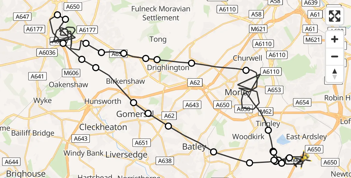
On Wednesday, 29 April 2026 at 22:24, a Police Helicopter departed from East Ardsley to Wrenthorpe. It was the Police Helicopter with registration number G-TVHB. The flight lasted 24 minutes. During that period, the aircraft travelled 35 miles at an average speed of 89 miles per hour at a maximum altitude of 1500 feet.
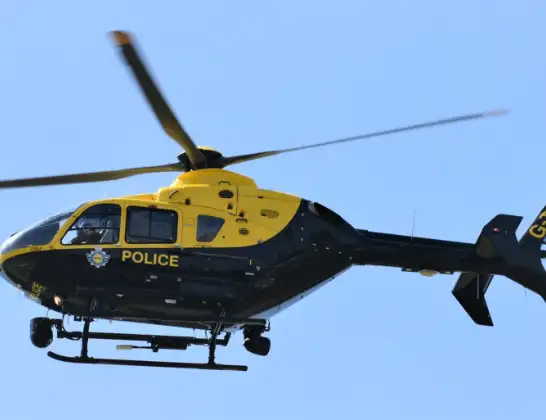
Helicopter: G-TVHB
The helicopter G-TVHB is used by the British police. The helicopter is deployed in pursuits, missing persons cases and other incidents where a helicopter provides added value.
Photo: Alec Wilson
35 miles
1500 feet
89 mph
24 minutes
22:24
22:48

Route
M1, West Yorkshire - Leeds22:48
Gawthorpe, Leeds22:48
East Ardsley, Leeds22:47
Woodkirk, Leeds22:47
Gawthorpe, Leeds22:47
East Ardsley, Leeds22:47
Tingley, Leeds22:46
Morley, Leeds22:41
Gildersome, Leeds22:39
Drighlington, Leeds22:38
Tong, Bradford22:38
Tong Street, Bradford22:38
Holmewood, Bradford22:37
Bowling, Bradford22:37
West Bowling, Bradford22:29
Trident, Bradford22:29
West Bowling, Bradford22:28
Oakenshaw, Bradford22:28
Holmewood, Kirklees22:28
Birkenshaw, Kirklees22:27
Gomersal, Kirklees22:27
Birstall, Kirklees22:26
Batley, Kirklees22:26
Dewsbury, Kirklees22:25
Gawthorpe, Leeds22:25
East Ardsley, Leeds22:24
Woodhouse Lane, West Yorkshire - Leeds22:24
Live flights
Today
Flights Wrenthorpe
Police Helicopter to East Ardsley, Stoney Lane11 Jul 20:42
Police Helicopter to East Ardsley, Stoney Lane11 Jul 10:06
Police Helicopter to East Ardsley, M110 Jul 23:38
Police Helicopter to East Ardsley, M19 Jul 21:52
Police Helicopter to Brandy Carr, M13 Jul 07:27
Helicopter flights on your website?
You can easily display helicopter flights on your own website. Use the embed code.
