Police Helicopter to Sevenoaks, Darent Valley Path
Wednesday, 29 April 2026 | 19:27 | From South Nutfield
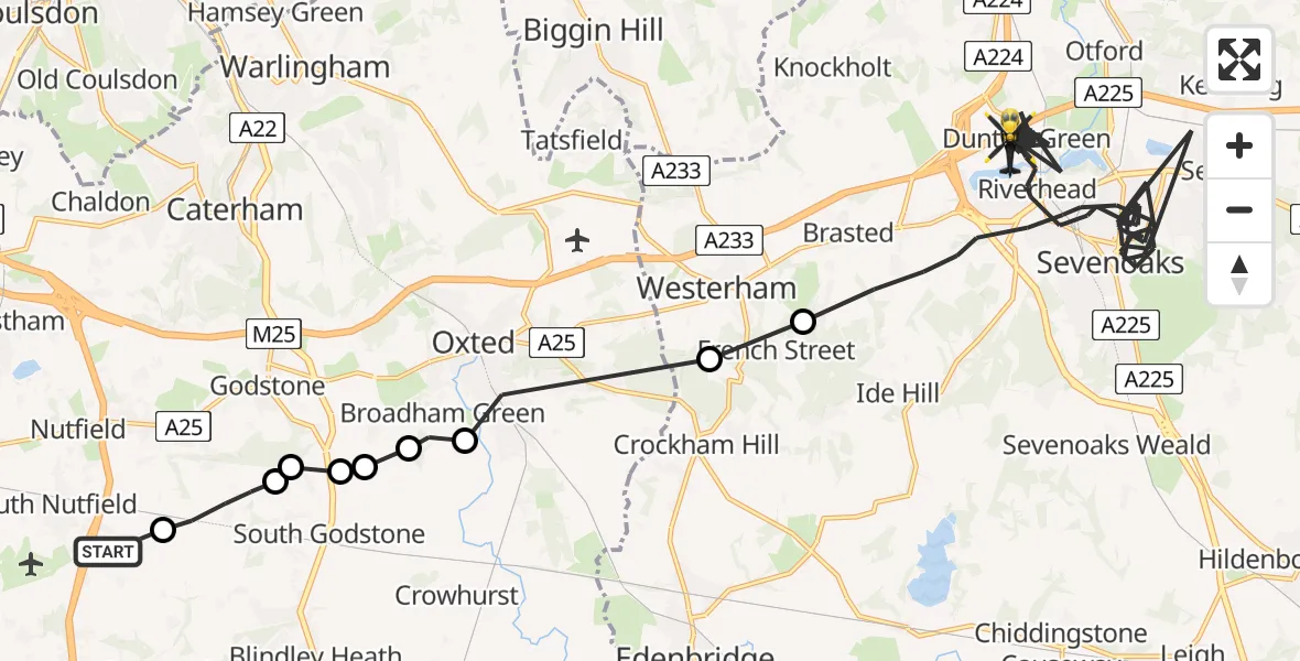
On Wednesday, 29 April 2026 at 19:27, a Police Helicopter departed from South Nutfield to Sevenoaks. It was the Police Helicopter with registration number G-POLH. The flight lasted 31 minutes. During that period, the aircraft travelled 37 miles at an average speed of 73 miles per hour at a maximum altitude of 1100 feet.
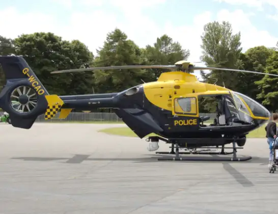
Helicopter: G-POLH
The helicopter G-POLH is used by the British police. The helicopter is deployed in pursuits, missing persons cases and other incidents where a helicopter provides added value.
Photo: Arpingstone
37 miles
1100 feet
73 mph
31 minutes
19:27
19:58

Route
Darent Valley Path, Kent19:58
Sevenoaks, Kent19:33
Tandridge, Surrey19:32
Oxted, Surrey19:30
Broadham Green, Surrey19:30
Godstone, Surrey19:29
South Godstone, Surrey19:29
Godstone, Surrey19:29
South Godstone, Surrey19:29
Tandridge, Surrey19:28
Coopers Hill Road, Surrey19:27
Live flights
Police Helicopter on its way from Dundrod12 Jul 22:50
Today
Police Helicopter to East Ardsley, Stoney Lane12 Jul 23:51
Police Helicopter to Birmingham Airport12 Jul 23:46
Air Ambulance Helicopter to Newlands of Culloden12 Jul 23:24
Flights Sevenoaks
Helicopter flights on your website?
You can easily display helicopter flights on your own website. Use the embed code.
