Police Helicopter to Coopersale, Epping Road
Monday, 27 April 2026 | 20:41 | From Epping Forest
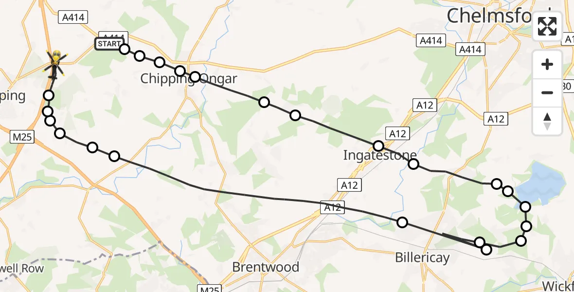
On Monday, 27 April 2026 at 20:41, a Police Helicopter departed from Epping Forest to Coopersale. It was the Police Helicopter with registration number G-POLD. The flight lasted 15 minutes. During that period, the aircraft travelled 36 miles at an average speed of 148 miles per hour at a maximum altitude of 900 feet.
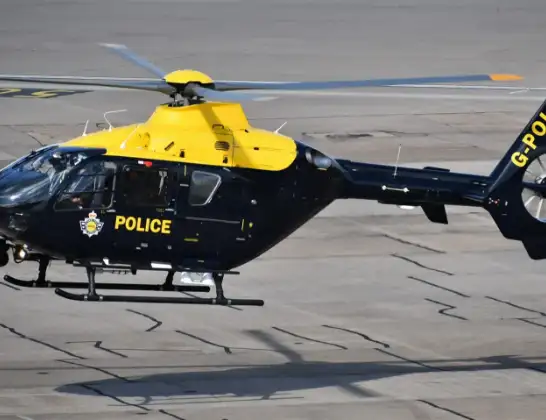
Helicopter: G-POLD
The helicopter G-POLD is used by the British police. The helicopter is deployed in pursuits, missing persons cases and other incidents where a helicopter provides added value.
Photo: Alec Wilson
36 miles
900 feet
148 mph
15 minutes
20:41
20:55

Route
Epping Road, Essex20:55
Coopersale, Essex20:54
Coopersale Street, Essex20:54
Theydon Garnon, Essex20:54
Woodhatch, Essex20:53
Stapleford Tawney, Essex20:53
Toot Hill, Essex20:53
Brentwood, Essex20:49
Ramsden Heath, Essex20:49
Billericay, Essex20:48
Ramsden Heath, Essex20:47
Downham, Essex20:47
Hanningfield Reservoir20:47
West Hanningfield, Essex20:47
Chelmsford, Essex20:46
Stock, Essex20:45
Ingatestone, Essex20:45
Brentwood, Essex20:43
Epping Forest, Essex20:43
High Ongar, Essex20:42
Chipping Ongar, Essex20:42
Greensted, Essex20:41
Chipping Ongar, Essex20:41
Greensted Green, Essex20:41
Epping Road, Essex20:41
Live flights
Police Helicopter on its way from Dundrod12 Jul 22:50
Today
Police Helicopter to East Ardsley, Stoney Lane12 Jul 23:51
Police Helicopter to Birmingham Airport12 Jul 23:46
Air Ambulance Helicopter to Newlands of Culloden12 Jul 23:24
Flights Coopersale
Police Helicopter to Coopersale, M1112 Jul 20:39
Police Helicopter to Coopersale, Epping Road12 Jul 15:11
Police Helicopter to Coopersale, M1112 Jul 14:52
Police Helicopter to North Weald Airfield10 Jul 23:35
Police Helicopter to North Weald Airfield9 Jul 11:47
Police Helicopter to North Weald Airfield8 Jul 21:15
Police Helicopter to Coopersale, Epping Road8 Jul 12:19
Police Helicopter to Coopersale, M118 Jul 11:22
Helicopter flights on your website?
You can easily display helicopter flights on your own website. Use the embed code.
