Air Ambulance Helicopter to Glensgaich, Garve-Stratpeffer-Track
Monday, 27 April 2026 | 1:30 | From Munlochy
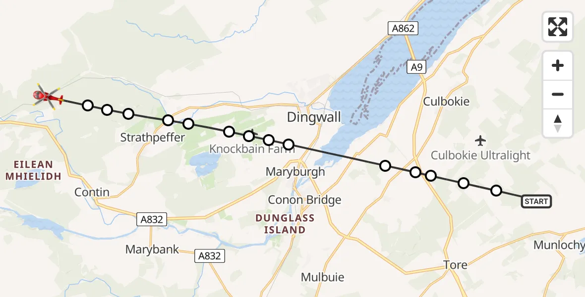
On Monday, 27 April 2026 at 1:30, a Air Ambulance Helicopter departed from Munlochy to Glensgaich. It was the Air Ambulance Helicopter with registration number G-GSAS. The flight lasted 6 minutes. During that period, the aircraft travelled 13 miles at an average speed of 116 miles per hour at a maximum altitude of 3750 feet.
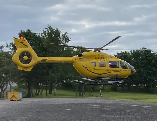
Helicopter: G-GSAS
The helicopter G-GSAS is used as a air ambulance helicopter. The main purpose of this aircraft is to transport a Mobile Medical Team to an incident as quickly as possible, enabling the trauma doctor to provide immediate first aid on site. The aircraft is flying this flight as Air Ambulance Helicopter.
Photo: Scanbus
13 miles
3750 feet
116 mph
7 minutes
01:30
01:36

Route
Garve-Stratpeffer-Track, Highland01:36
Glensgaich, Highland01:36
Contin, Highland01:36
Strathpeffer, Highland01:35
Achterneed, Highland01:35
Strathpeffer, Highland01:35
Knockfarrel, Highland01:34
Knockbain Farm Airstrip, Dingwall, Highland01:34
Dingwall, Highland01:34
Maryburgh, Highland01:33
Dingwall, Highland01:32
Tore, Highland01:32
Highland, Highland01:31
Braes of Dunvournie, Highland01:31
Inverness, Highland01:30
Munlochy, Highland01:30
Today
Flights Glensgaich
Flights Munlochy
Air Ambulance Helicopter to Munlochy19 Apr 15:21
Air Ambulance Helicopter to Fairburn19 Apr 12:49
Helicopter flights on your website?
You can easily display helicopter flights on your own website. Use the embed code.
