Air Ambulance Helicopter to Welwyn Garden City, Ascots Lane
Sunday, 26 April 2026 | 11:31 | From Harefield Hospital
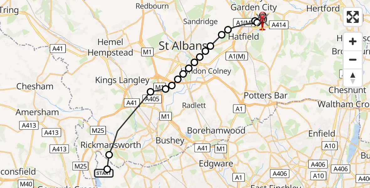
On Sunday, 26 April 2026 at 11:31, a Air Ambulance Helicopter departed from Harefield Hospital to Welwyn Garden City. It was the Air Ambulance Helicopter with registration number G-EHAT. The flight lasted 15 minutes. During that period, the aircraft travelled 21 miles at an average speed of 84 miles per hour at a maximum altitude of 675 feet.
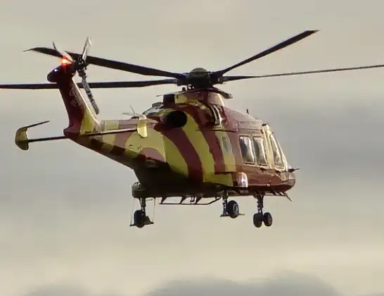
Helicopter: G-EHAT
The helicopter G-EHAT is used as a air ambulance helicopter. The main purpose of this aircraft is to transport a Mobile Medical Team to an incident as quickly as possible, enabling the trauma doctor to provide immediate first aid on site. The aircraft is flying this flight as Air Ambulance Helicopter.
Photo: By Steve Knight
21 miles
675 feet
84 mph
16 minutes
11:31
11:46

Route
Ascots Lane, Hertfordshire11:46
Ascots Lane, Hertfordshire11:45
Welwyn Garden City, Hertfordshire11:44
Hatfield, Hertfordshire11:44
Welwyn Garden City, Hertfordshire11:43
Hatfield, Hertfordshire11:41
Sandridge, Hertfordshire11:41
St Albans, Hertfordshire11:40
Colney Heath, Hertfordshire11:40
St Albans, Hertfordshire11:40
London Colney, Hertfordshire11:40
Frogmore, Hertfordshire11:39
How Wood, Hertfordshire11:39
Frogmore, Hertfordshire11:39
How Wood, Hertfordshire11:39
Bricket Wood, Hertfordshire11:38
Abbots Langley, Hertfordshire11:38
Stockers Farm Road, Hertfordshire11:35
Batchworth, Hertfordshire11:34
Harefield Hospital, Harefield11:31
Live flights
Today
Helicopter flights on your website?
You can easily display helicopter flights on your own website. Use the embed code.
