Air Ambulance Helicopter to Redhill Aerodrome
Sunday, 26 April 2026 | 11:12 | From Ashford
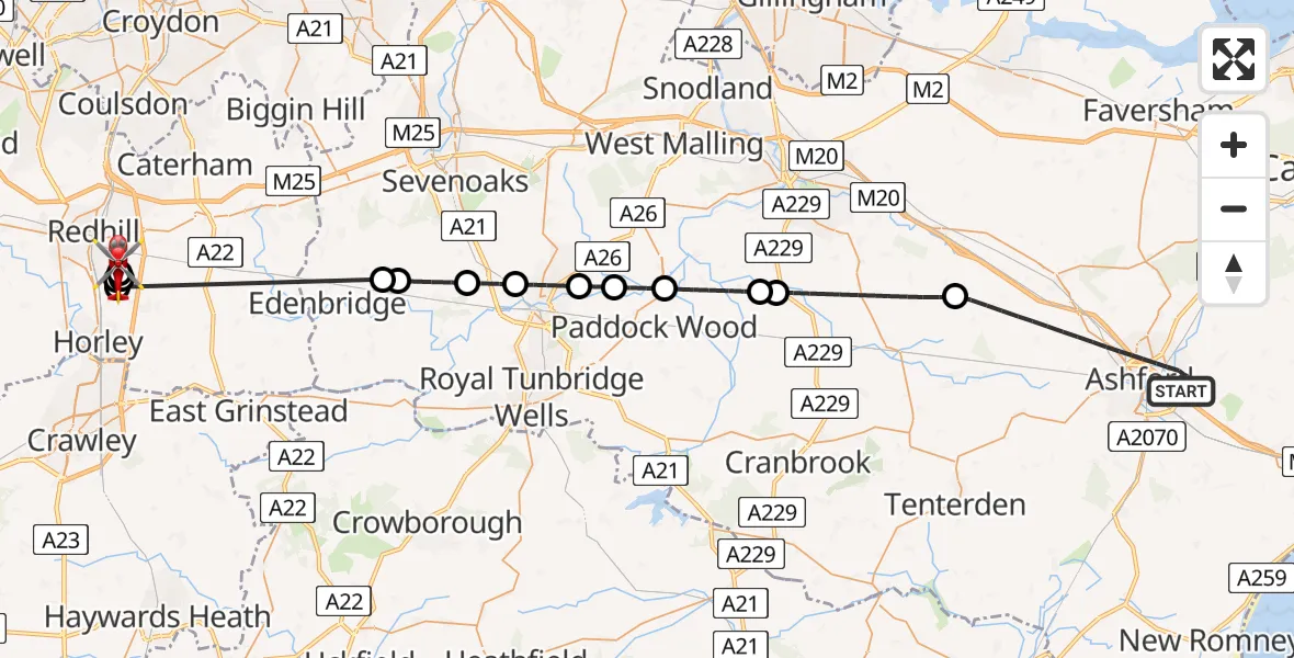
On Sunday, 26 April 2026 at 11:12, a Air Ambulance Helicopter departed from Ashford to Redhill Aerodrome. It was the Air Ambulance Helicopter with registration number G-KSSC. The flight lasted 27 minutes. During that period, the aircraft travelled 49 miles at an average speed of 109 miles per hour at a maximum altitude of 900 feet.
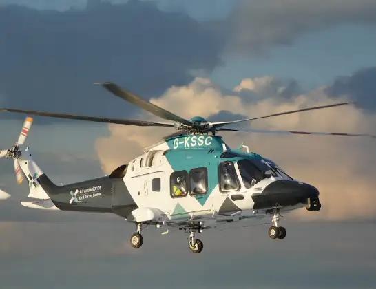
Helicopter: G-KSSC
The helicopter G-KSSC is used as a air ambulance helicopter. The main purpose of this aircraft is to transport a Mobile Medical Team to an incident as quickly as possible, enabling the trauma doctor to provide immediate first aid on site. The aircraft is flying this flight as Air Ambulance Helicopter.
Photo: Shona aakss
49 miles
900 feet
109 mph
27 minutes
11:12
11:39

Route
Redhill Aerodrome, Redhill, Surrey11:39
Redhill Aerodrome, Redhill, Surrey11:36
Redhill Aerodrome, Redhill, Surrey11:34
Redhill Aerodrome, Redhill, Surrey11:33
Moats Lane, Surrey11:32
Redhill Aerodrome, Redhill, Surrey11:32
Redhill Aerodrome, Redhill, Surrey11:31
Salfords, Surrey11:30
Sevenoaks, Kent11:26
Bough Beech Reservoir11:26
Sevenoaks, Kent11:24
Hildenborough, Kent11:24
Tonbridge, Kent11:23
Golden Green, Kent11:22
East Peckham, Kent11:21
Maidstone, Kent11:20
Rankins Farm Airfield, Maidstone, Kent11:20
Maidstone, Kent11:17
Blackwall Road, Kent11:13
Ashford, Kent11:12
Live flights
Today
Flights Ashford
Air Ambulance Helicopter to Redhill Aerodrome10 Jun 18:20
Air Ambulance Helicopter to Redhill Aerodrome30 May 11:18
Air Ambulance Helicopter to Rother, Ward's Lane28 May 21:12
Police Helicopter to Ashford27 May 12:21
Helicopter flights on your website?
You can easily display helicopter flights on your own website. Use the embed code.
