Air Ambulance Helicopter to Blunsdon St Andrew, Mazurek Way
Saturday, 25 April 2026 | 18:01 | From Wiltshire Air Ambulance
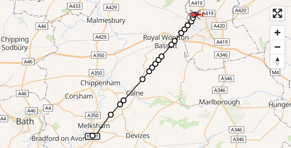
On Saturday, 25 April 2026 at 18:01, a Air Ambulance Helicopter departed from Wiltshire Air Ambulance to Blunsdon St Andrew. It was the Air Ambulance Helicopter with registration number G-WLTS. The flight lasted 11 minutes. During that period, the aircraft travelled 23 miles at an average speed of 129 miles per hour at a maximum altitude of 1175 feet.
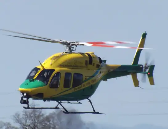
Helicopter: G-WLTS
The helicopter G-WLTS is used as a air ambulance helicopter. The main purpose of this aircraft is to transport a Mobile Medical Team to an incident as quickly as possible, enabling the trauma doctor to provide immediate first aid on site. The aircraft is flying this flight as Air Ambulance Helicopter.
Photo: James
24 miles
1175 feet
129 mph
11 minutes
18:01
18:12

Route
Mazurek Way, Swindon18:12
Blunsdon St Andrew, Swindon18:10
Haydon Wick, Swindon18:10
Taw Hill, Swindon18:10
West Swindon, Swindon18:10
Middleleaze, Swindon18:09
Lydiard Park18:09
Royal Wootton Bassett, Wiltshire18:09
Swindon, Wiltshire18:08
Royal Wootton Bassett, Wiltshire18:08
Lyneham, Wiltshire18:07
Bushton, Wiltshire18:07
Hilmarton, Wiltshire18:07
Bushton, Wiltshire18:07
Hilmarton, Wiltshire18:06
Calne, Wiltshire18:05
Derry Hill and Studley, Wiltshire18:04
Bromham, Wiltshire18:04
Melksham, Wiltshire18:02
Commerce Way, Wiltshire18:01
Live flights
Today
Helicopter flights on your website?
You can easily display helicopter flights on your own website. Use the embed code.
