Air Ambulance Helicopter to St Georges Hospital
Saturday, 25 April 2026 | 15:42 | From London Heathrow Airport
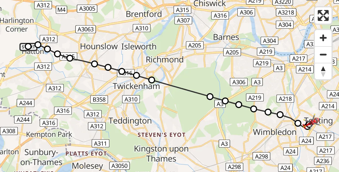
On Saturday, 25 April 2026 at 15:42, a Air Ambulance Helicopter departed from London Heathrow Airport to St Georges Hospital. It was the Air Ambulance Helicopter with registration number G-LAAA. The flight lasted 8 minutes. During that period, the aircraft travelled 11 miles at an average speed of 88 miles per hour at a maximum altitude of 825 feet.
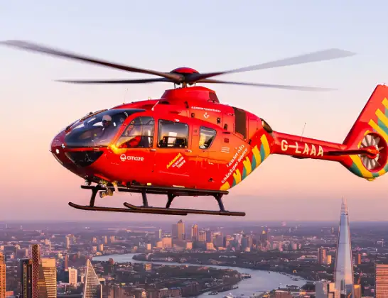
Helicopter: G-LAAA
The helicopter G-LAAA is used as a air ambulance helicopter. The main purpose of this aircraft is to transport a Mobile Medical Team to an incident as quickly as possible, enabling the trauma doctor to provide immediate first aid on site. The aircraft is flying this flight as Air Ambulance Helicopter.
Photo: Ton Snoei
12 miles
825 feet
88 mph
8 minutes
15:42
15:49

Route
St Georges Hospital, London15:49
St Georges Hospital, London15:49
St Georges Hospital, London15:48
Collier's Wood, Wandsworth15:48
Collier's Wood, Merton15:47
Merton, Merton15:47
Wye Lodge, Merton15:47
Merton, Merton15:46
Wandsworth, Wandsworth15:46
Putney Vale, Wandsworth15:46
Richmond upon Thames, Richmond upon Thames15:46
Petersham, Richmond upon Thames15:45
Twickenham, Richmond upon Thames15:44
Strawberry Hill, Richmond upon Thames15:44
Whitton, Richmond upon Thames15:44
Worton, Hounslow15:44
Hounslow West, Hounslow15:43
Cranford, Hounslow15:43
Green Lane, Greater London - Hounslow15:43
Hillingdon, Hillingdon15:42
West Base Carpark, Hillingdon15:42
London Heathrow Airport, London15:42
Live flights
Police Helicopter on its way from East Ardsley24 Jul 23:19
Today
Air Ambulance Helicopter to Henstridge Airfield24 Jul 23:34
Air Ambulance Helicopter to Norwich Airport24 Jul 23:31
Air Ambulance Helicopter to Cowbridge, A4824 Jul 23:07
Police Helicopter to North Weald Airfield24 Jul 22:53
Air Ambulance Helicopter to Caernarfon Airport24 Jul 22:42
Helicopter flights on your website?
You can easily display helicopter flights on your own website. Use the embed code.
