Air Ambulance Helicopter to RAF Topcliffe
Saturday, 25 April 2026 | 13:06 | From Horton in Ribblesdale
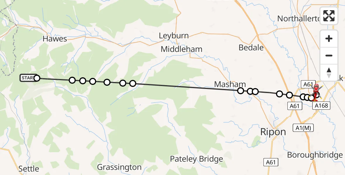
On Saturday, 25 April 2026 at 13:06, a Air Ambulance Helicopter departed from Horton in Ribblesdale to RAF Topcliffe. It was the Air Ambulance Helicopter with registration number G-YORX. The flight lasted 16 minutes. During that period, the aircraft travelled 36 miles at an average speed of 135 miles per hour at a maximum altitude of 2400 feet.
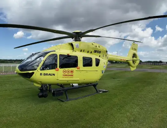
Helicopter: G-YORX
The helicopter G-YORX is used as a air ambulance helicopter. The main purpose of this aircraft is to transport a Mobile Medical Team to an incident as quickly as possible, enabling the trauma doctor to provide immediate first aid on site. The aircraft is flying this flight as Air Ambulance Helicopter.
Photo: Arollin96227
37 miles
2400 feet
135 mph
17 minutes
13:06
13:22

Route
RAF Topcliffe, Thirsk, North Yorkshire13:22
RAF Topcliffe, Thirsk, North Yorkshire13:22
RAF Topcliffe, Thirsk, North Yorkshire13:21
Topcliffe, North Yorkshire13:20
Catton, North Yorkshire13:20
Skipton on Swale, North Yorkshire13:20
Baldersby, North Yorkshire13:19
Middleton Quernhow, North Yorkshire13:19
Thornborough, North Yorkshire13:17
Ripon, North Yorkshire13:17
West Tanfield, North Yorkshire13:17
Carlton Highdale, North Yorkshire13:11
West Burton, North Yorkshire13:11
Burton-cum-Walden, North Yorkshire13:10
Bishopdale, North Yorkshire13:09
Buckden, North Yorkshire13:09
Bainbridge, North Yorkshire13:08
Buckden, North Yorkshire13:06
Cam High Road, North Yorkshire13:06
Live flights
Today
Helicopter flights on your website?
You can easily display helicopter flights on your own website. Use the embed code.
