Police Helicopter to MOD St Athan
Saturday, 25 April 2026 | 1:44 | From Bristol Channel
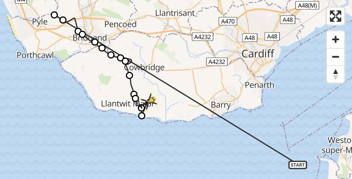
On Saturday, 25 April 2026 at 1:44, a Police Helicopter departed from Bristol Channel to MOD St Athan. It was the Police Helicopter with registration number G-NWOI. The flight lasted 12 minutes. During that period, the aircraft travelled 48 miles at an average speed of 248 miles per hour at a maximum altitude of 1200 feet.
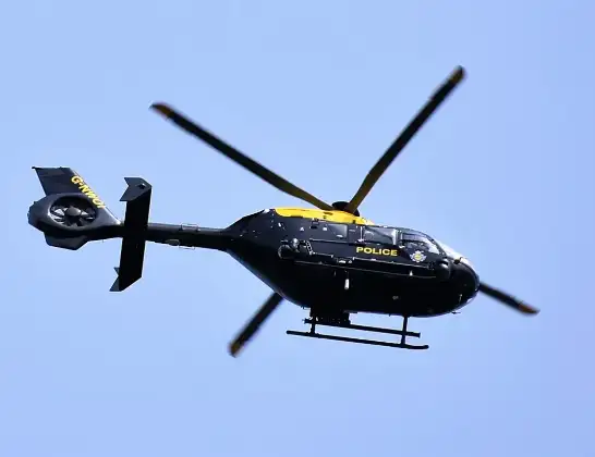
Helicopter: G-NWOI
The helicopter G-NWOI is used by the British police. The helicopter is deployed in pursuits, missing persons cases and other incidents where a helicopter provides added value.
Photo: Alec Wilson
49 miles
1200 feet
248 mph
12 minutes
01:44
01:56

Route
MOD St Athan, St Athan, Vale of Glamorgan01:56
Llantwit Major, Vale of Glamorgan01:56
MOD St Athan, St Athan, Vale of Glamorgan01:55
Boverton, Vale of Glamorgan01:54
Llanmaes, Vale of Glamorgan01:54
Sigingstone, Vale of Glamorgan01:53
Llysworney, Vale of Glamorgan01:51
Penllyn, Vale of Glamorgan01:50
Colwinston, Vale of Glamorgan01:49
Bridgend, Bridgend01:49
Corntown, Vale of Glamorgan01:48
Bridgend, Bridgend01:48
Bryntirion, Bridgend01:47
Cefn Cribwr, Bridgend01:46
Pen y Bryn, Neath Port Talbot01:46
Bristol Channel, 01:44
Live flights
Today
Helicopter flights on your website?
You can easily display helicopter flights on your own website. Use the embed code.
