Police Helicopter to Birmingham Airport
Saturday, 25 April 2026 | 0:48 | From Husbands Bosworth
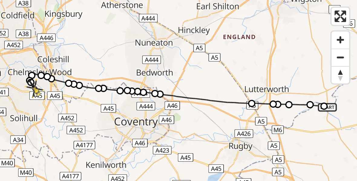
On Saturday, 25 April 2026 at 0:48, a Police Helicopter departed from Husbands Bosworth to Birmingham Airport. It was the Police Helicopter with registration number G-EMID. The flight lasted 14 minutes. During that period, the aircraft travelled 31 miles at an average speed of 133 miles per hour at a maximum altitude of 1250 feet.
Helicopter: G-EMID
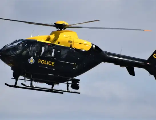
The helicopter G-EMID is used by the British police. The helicopter is deployed in pursuits, missing persons cases and other incidents where a helicopter provides added value.
Photo: Alec Wilson
32 miles
1250 feet
133 mph
15 minutes
00:48
01:02

Route
Birmingham Airport, Birmingham, West Midlands01:02
Birmingham Airport, Birmingham, West Midlands01:01
Tile Cross, Birmingham01:01
Solihull, Solihull01:01
Chelmsley Wood, Solihull01:00
Solihull, Warwickshire01:00
Coleshill Heath, Solihull01:00
North Warwickshire, Warwickshire00:59
Maxstoke, Warwickshire00:59
North Warwickshire, Warwickshire00:59
Solihull, Solihull00:58
Allesley, Warwickshire00:58
Corley, Warwickshire00:57
Keresley, Warwickshire00:57
Holbrooks, Coventry00:57
Holbrooks, Warwickshire00:56
Rowley Green, Coventry00:56
Manor House, Coventry00:55
Potters Green, Warwickshire00:55
Rugby, Warwickshire00:51
Harborough, Leicestershire00:50
Walcote, Leicestershire00:50
Harborough, Leicestershire00:50
South Kilworth, Leicestershire00:49
Welford, West Northamptonshire00:48
Welford Road, Leicestershire00:48
Live flights
Today
Helicopter flights on your website?
You can easily display helicopter flights on your own website. Use the embed code.
