Air Ambulance Helicopter to Glasgow Airport
Friday, 24 April 2026 | 20:18 | From Argyll and Bute
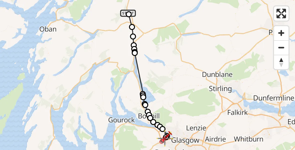
On Friday, 24 April 2026 at 20:18, a Air Ambulance Helicopter departed from Argyll and Bute to Glasgow Airport. It was the Air Ambulance Helicopter with registration number G-ISAS. The flight lasted 21 minutes. During that period, the aircraft travelled 46 miles at an average speed of 136 miles per hour at a maximum altitude of 3775 feet.
Helicopter: G-ISAS
The helicopter G-ISAS is used as a air ambulance helicopter. The main purpose of this aircraft is to transport a Mobile Medical Team to an incident as quickly as possible, enabling the trauma doctor to provide immediate first aid on site. The aircraft is flying this flight as Air Ambulance Helicopter.
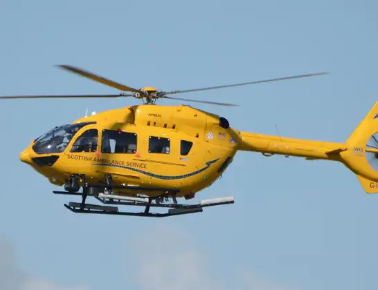
Photo: Jonathan Payne
47 miles
3775 feet
136 mph
21 minutes
20:18
20:38

Route
Glasgow Airport, Glasgow20:38
Glasgow Airport, Glasgow20:38
Renfrew, Renfrewshire20:38
Clydebank, West Dunbartonshire20:36
Old Kilpatrick, West Dunbartonshire20:36
Bowling, West Dunbartonshire20:35
Milton, West Dunbartonshire20:34
Dumbarton, West Dunbartonshire20:34
Bonhill, West Dunbartonshire20:33
Balloch, West Dunbartonshire20:33
Loch Lomond20:31
Inchmurrin20:31
Loch Lomond20:30
Luss, Argyll and Bute20:30
Aldochlay, Argyll and Bute20:30
Loch Lomond20:24
Ardleish, Argyll and Bute20:24
Argyll and Bute, Argyll and Bute20:23
Glen Falloch, Stirling20:23
Creag an Duin, Stirling20:21
Tyndrum, Stirling20:20
Carn Buachaille Breig, Argyll and Bute20:18
A82, Argyll and Bute20:18
Live flights
Today
Helicopter flights on your website?
You can easily display helicopter flights on your own website. Use the embed code.
