Air Ambulance Helicopter to University Hospital Southampton, Lordsdale Greenway
Friday, 24 April 2026 | 19:54 | From St Marys Hospital Isle Of Wight
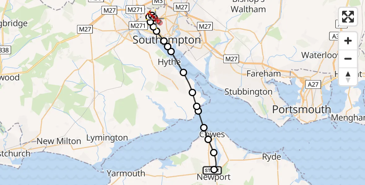
On Friday, 24 April 2026 at 19:54, a Air Ambulance Helicopter departed from St Marys Hospital Isle Of Wight to University Hospital Southampton. It was the Air Ambulance Helicopter with registration number G-HIOW. The flight lasted 9 minutes. During that period, the aircraft travelled 18 miles at an average speed of 122 miles per hour at a maximum altitude of 1150 feet.
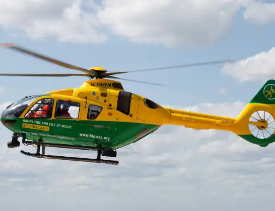
Helicopter: G-HIOW
The helicopter G-HIOW is used as a air ambulance helicopter. The main purpose of this aircraft is to transport a Mobile Medical Team to an incident as quickly as possible, enabling the trauma doctor to provide immediate first aid on site. The aircraft is flying this flight as Air Ambulance Helicopter.
Photo: JF2608
19 miles
1150 feet
122 mph
9 minutes
19:54
20:03

Route
University Hospital Southampton, Southampton20:03
University Hospital Southampton, Southampton20:03
Lordsdale Greenway, Southampton20:03
Aldermoor, Southampton20:03
Maybush, Southampton20:02
Old Shirley, Southampton20:02
Shirley, Southampton20:02
Regents Park, Southampton20:02
Freemantle, Southampton20:01
Southampton20:01
Queen Elizabeth Cruise Terminal, Southampton20:01
Southampton Water19:59
Fawley, Hampshire19:59
Calshot, Hampshire19:58
Calshot19:58
English Channel19:57
Cowes, Isle of Wight19:56
Green Lane, Isle of Wight19:56
Northwood, Isle of Wight19:56
Dodnor Lane, Isle of Wight19:55
Newport, Isle of Wight19:55
St Marys Hospital Isle Of Wight, Newport19:54
Live flights
Police Helicopter on its way from Dundrod12 Jul 22:50
Today
Police Helicopter to East Ardsley, Stoney Lane12 Jul 23:51
Police Helicopter to Birmingham Airport12 Jul 23:46
Police Helicopter to Parkham Ash12 Jul 23:41
Air Ambulance Helicopter to Newlands of Culloden12 Jul 23:24
Helicopter flights on your website?
You can easily display helicopter flights on your own website. Use the embed code.
