Air Ambulance Helicopter to Exeter International Airport
Friday, 24 April 2026 | 19:38 | From Aylesbeare
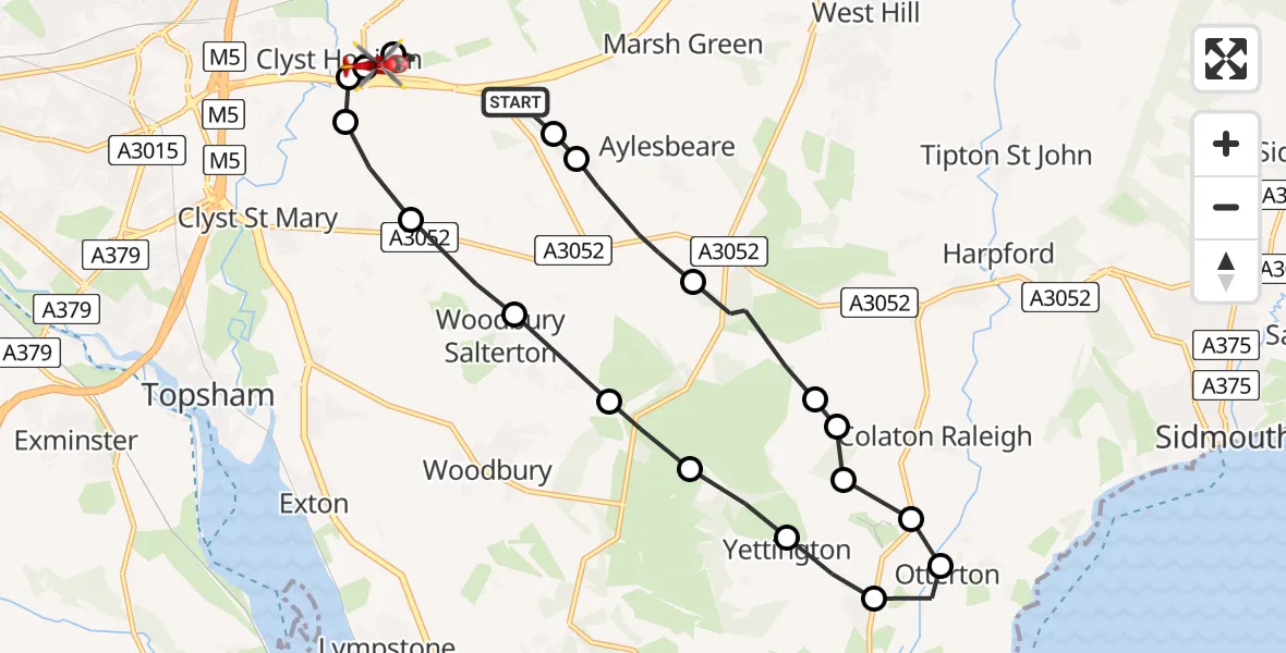
On Friday, 24 April 2026 at 19:38, a Air Ambulance Helicopter departed from Aylesbeare to Exeter International Airport. It was the Air Ambulance Helicopter with registration number G-DAAN. The flight lasted 9 minutes. During that period, the aircraft travelled 16 miles at an average speed of 112 miles per hour at a maximum altitude of 1425 feet.
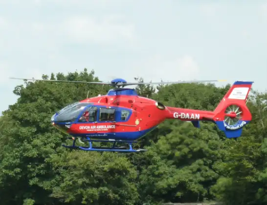
Helicopter: G-DAAN
The helicopter G-DAAN is used as a air ambulance helicopter. The main purpose of this aircraft is to transport a Mobile Medical Team to an incident as quickly as possible, enabling the trauma doctor to provide immediate first aid on site. The aircraft is flying this flight as Air Ambulance Helicopter.
Photo: UKgeofan
16 miles
1425 feet
112 mph
9 minutes
19:38
19:47

Route
Exeter International Airport, Exeter, Devon19:47
Exeter International Airport, Exeter, Devon19:46
Clyst Honiton, Devon19:46
East Devon, Devon19:46
Clyst St Mary, Devon19:45
Clyst Honiton, Devon19:45
Woodbury Salterton, Devon19:44
Woodbury, Devon19:44
East Devon, Devon19:44
Yettington, Devon19:43
East Budleigh, Devon19:43
Otterton, Devon19:42
East Budleigh, Devon19:42
Yettington, Devon19:41
East Devon, Devon19:41
Colaton Raleigh, Devon19:41
East Devon, Devon19:40
Aylesbeare, Devon19:39
East Devon, Devon19:39
Marwood Lane, Devon19:38
Live flights
Today
Flights Aylesbeare
Police Helicopter to English Channel10 Jul 22:12
Police Helicopter to Aylesbeare, Silver Lane9 Jul 19:46
Air Ambulance Helicopter to Aylesbeare10 Jun 17:18
Helicopter flights on your website?
You can easily display helicopter flights on your own website. Use the embed code.
