Air Ambulance Helicopter to Calne, Hilmarton
Friday, 24 April 2026 | 18:32 | From Blunsdon St Andrew
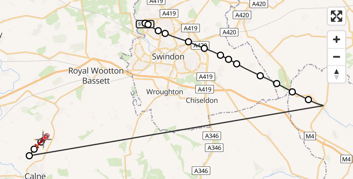
On Friday, 24 April 2026 at 18:32, a Air Ambulance Helicopter departed from Blunsdon St Andrew to Calne. It was the Air Ambulance Helicopter with registration number G-WLTS. The flight lasted 18 minutes. During that period, the aircraft travelled 37 miles at an average speed of 120 miles per hour at a maximum altitude of 1225 feet.
Helicopter: G-WLTS
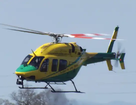
The helicopter G-WLTS is used as a air ambulance helicopter. The main purpose of this aircraft is to transport a Mobile Medical Team to an incident as quickly as possible, enabling the trauma doctor to provide immediate first aid on site. The aircraft is flying this flight as Air Ambulance Helicopter.
Photo: James
37 miles
1225 feet
120 mph
19 minutes
18:32
18:51

Route
Hilmarton, Wiltshire18:51
Calne, Wiltshire18:51
Hilmarton, Wiltshire18:50
Bremhill, Wiltshire18:50
Upper Lambourn, West Berkshire18:41
Ashbury, West Berkshire18:40
Ashbury, Oxfordshire18:40
Bishopstone, Swindon18:39
Hinton Parva, Swindon18:39
Bishopstone, Swindon18:38
Redlands Airfield, Swindon, Wiltshire18:38
Wanborough, Swindon18:38
Stratton St. Margaret, Swindon18:37
Swindon, Swindon18:36
Greenmeadow, Swindon18:36
Blunsdon St Andrew, Swindon18:36
Queen Elizabeth Drive, Swindon18:35
Taw Hill, Swindon18:33
Blunsdon St Andrew, Swindon18:32
Live flights
Today
Flights Calne
Air Ambulance Helicopter to Calne, Lower Compton21 May 18:26
Air Ambulance Helicopter to Calne, Zander Road15 May 09:50
Air Ambulance Helicopter to Calne, Eadred's Hyde13 May 07:32
Helicopter flights on your website?
You can easily display helicopter flights on your own website. Use the embed code.
