Air Ambulance Helicopter to Taw Hill, Haydon End Lane
Friday, 24 April 2026 | 18:06 | From Wiltshire Air Ambulance
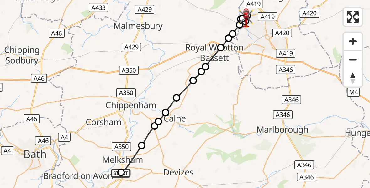
On Friday, 24 April 2026 at 18:06, a Air Ambulance Helicopter departed from Wiltshire Air Ambulance to Taw Hill. It was the Air Ambulance Helicopter with registration number G-WLTS. The flight lasted 14 minutes. During that period, the aircraft travelled 24 miles at an average speed of 103 miles per hour at a maximum altitude of 1300 feet.
Helicopter: G-WLTS
The helicopter G-WLTS is used as a air ambulance helicopter. The main purpose of this aircraft is to transport a Mobile Medical Team to an incident as quickly as possible, enabling the trauma doctor to provide immediate first aid on site. The aircraft is flying this flight as Air Ambulance Helicopter.
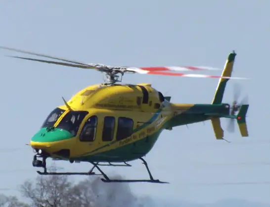
Photo: James
25 miles
1300 feet
103 mph
15 minutes
18:06
18:21

Route
Taw Hill, Swindon18:21
Haydon End Lane, Swindon18:20
Haydon End Lane, Swindon18:19
Taw Hill, Swindon18:17
Purton, Wiltshire18:17
Taw Hill, Swindon18:16
Blunsdon St Andrew, Swindon18:16
Taw Hill, Swindon18:15
Purton, Wiltshire18:15
Lydiard Millicent, Wiltshire18:14
Royal Wootton Bassett, Wiltshire18:14
Hook, Wiltshire18:14
Royal Wootton Bassett, Wiltshire18:13
Tockenham, Wiltshire18:12
Lyneham, Wiltshire18:12
Hilmarton, Wiltshire18:11
Bremhill, Wiltshire18:10
Studley, Wiltshire18:10
Derry Hill, Wiltshire18:09
Bowden Hill, Wiltshire18:08
Melksham, Wiltshire18:07
Trowbridge, Wiltshire18:06
Live flights
Today
Helicopter flights on your website?
You can easily display helicopter flights on your own website. Use the embed code.
