Air Ambulance Helicopter to Stoke D'Abernon, Sandy Lane
Friday, 24 April 2026 | 17:30 | From Redhill Aerodrome
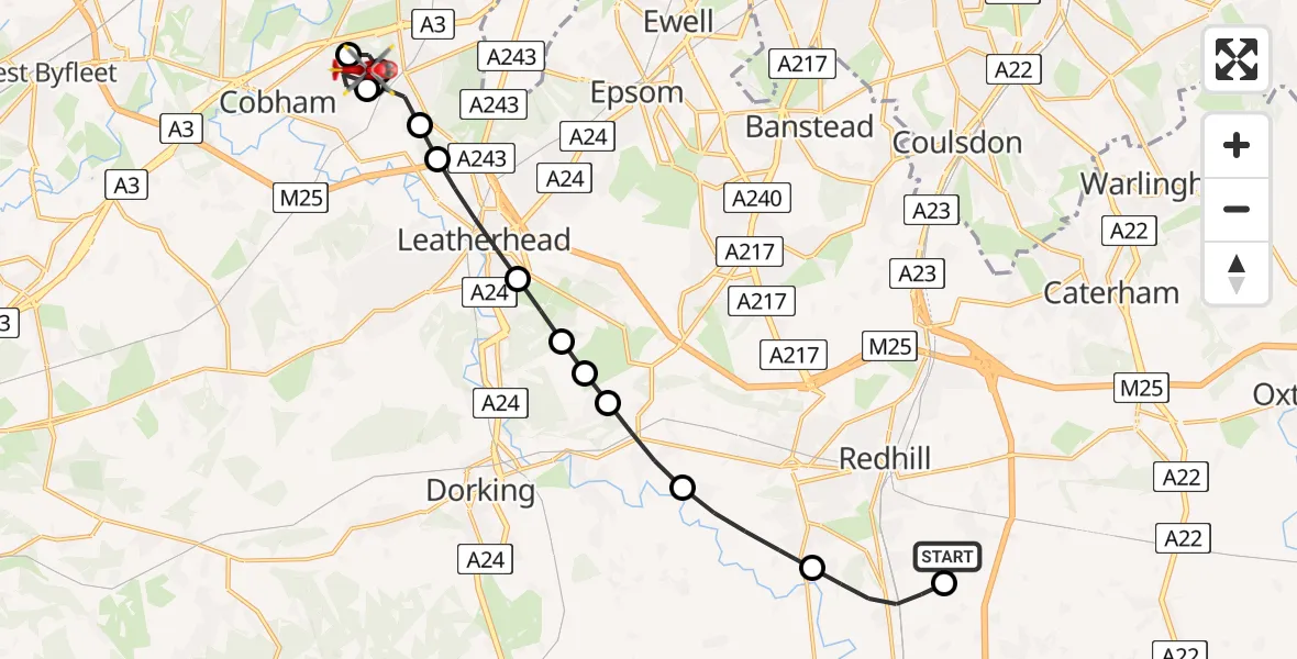
On Friday, 24 April 2026 at 17:30, a Air Ambulance Helicopter departed from Redhill Aerodrome to Stoke D'Abernon. It was the Air Ambulance Helicopter with registration number G-KSSC. The flight lasted 11 minutes. During that period, the aircraft travelled 18 miles at an average speed of 94 miles per hour at a maximum altitude of 1150 feet.
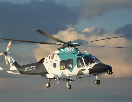
Helicopter: G-KSSC
The helicopter G-KSSC is used as a air ambulance helicopter. The main purpose of this aircraft is to transport a Mobile Medical Team to an incident as quickly as possible, enabling the trauma doctor to provide immediate first aid on site. The aircraft is flying this flight as Air Ambulance Helicopter.
Photo: Shona aakss
18 miles
1150 feet
94 mph
12 minutes
17:30
17:41

Route
Sandy Lane, Surrey17:41
Stoke D'Abernon, Surrey17:40
Oxshott, Surrey17:39
Elmbridge, Surrey17:39
Stoke D'Abernon, Surrey17:38
Oxshott, Surrey17:38
Mole Valley, Surrey17:38
Leatherhead, Surrey17:37
Mickleham, Surrey17:36
Headley, Surrey17:36
Box Hill Village, Surrey17:36
Buckland, Surrey17:35
Reigate, Surrey17:34
Mason's Bridge Road, Surrey17:33
Salfords, Surrey17:33
Redhill Aerodrome, Redhill, Surrey17:30
Live flights
Police Helicopter on its way from Loughton24 Apr 23:02
Police Helicopter on its way from Harborough24 Apr 22:28
Police Helicopter on its way from RAF Benson24 Apr 22:26
Today
Air Ambulance Helicopter to Poole, Barn Road24 Apr 22:01
Air Ambulance Aircraft to Glasgow Airport24 Apr 21:31
Air Ambulance Helicopter to Cardiff Heliport24 Apr 21:23
Police Helicopter to Sewardstonebury, Bury Road24 Apr 21:07
Police Helicopter to MOD St Athan24 Apr 21:05
Helicopter flights on your website?
You can easily display helicopter flights on your own website. Use the embed code.
