Air Ambulance Helicopter to Kings College London Hospital
Thursday, 23 April 2026 | 17:34 | From South Norwood
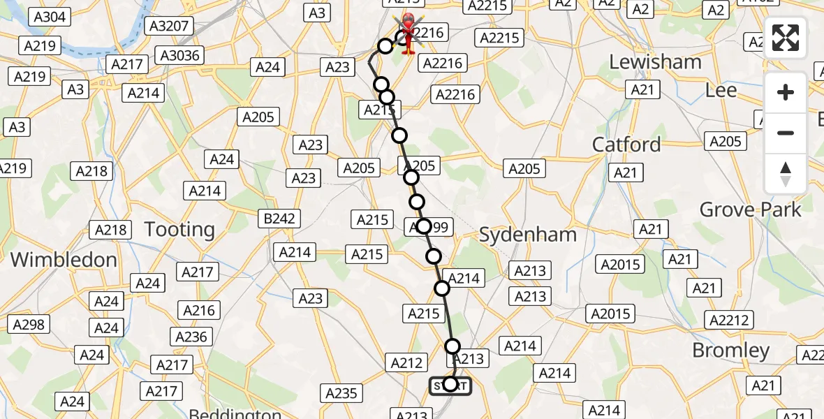
On Thursday, 23 April 2026 at 17:34, a Air Ambulance Helicopter departed from South Norwood to Kings College London Hospital. It was the Air Ambulance Helicopter with registration number G-LAAA. The flight lasted 10 minutes. During that period, the aircraft travelled 6 miles at an average speed of 34 miles per hour at a maximum altitude of 800 feet.
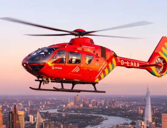
Helicopter: G-LAAA
The helicopter G-LAAA is used as a air ambulance helicopter. The main purpose of this aircraft is to transport a Mobile Medical Team to an incident as quickly as possible, enabling the trauma doctor to provide immediate first aid on site. The aircraft is flying this flight as Air Ambulance Helicopter.
Photo: Ton Snoei
6 miles
800 feet
34 mph
10 minutes
17:34
17:44

Route
Kings College London Hospital, London17:44
Kings College London Hospital, London17:43
Kings College London Hospital, London17:42
Kings College London Hospital, London17:42
Camberwell, Lambeth17:41
Loughborough Junction, Lambeth17:40
Dulwich Village, Lambeth17:40
Dulwich Village, Southwark17:39
Tulse Hill, Southwark17:39
West Norwood, Lambeth17:39
Upper Norwood, Lambeth17:38
West Norwood, Lambeth17:38
Upper Norwood, Croydon17:38
Kitley Gardens, Greater London - Croydon17:38
Crystal Palace, Croydon17:37
South Norwood, Croydon17:34
South Norwood, Greater London - Croydon17:34
Live flights
Police Helicopter on its way from Worsley22 Jul 23:45
Today
Police Helicopter to RAF Benson22 Jul 23:59
Police Helicopter to East Ardsley, Stoney Lane22 Jul 23:32
Helicopter flights on your website?
You can easily display helicopter flights on your own website. Use the embed code.
