Air Ambulance Helicopter to Bettws Disserth, Frank's Bridge
Thursday, 23 April 2026 | 12:13 | From Welshpool Airport
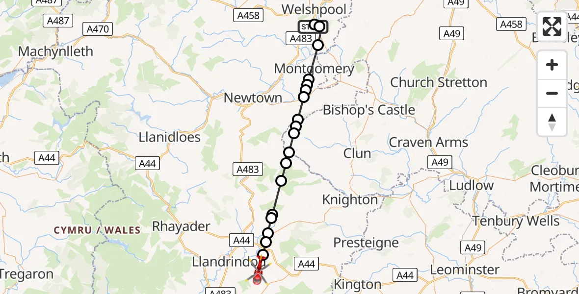
On Thursday, 23 April 2026 at 12:13, a Air Ambulance Helicopter departed from Welshpool Airport to Bettws Disserth. It was the Air Ambulance Helicopter with registration number G-WOBR. The flight lasted 16 minutes. During that period, the aircraft travelled 30 miles at an average speed of 111 miles per hour at a maximum altitude of 1925 feet.
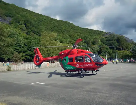
Helicopter: G-WOBR
The helicopter G-WOBR is used as a air ambulance helicopter. The main purpose of this aircraft is to transport a Mobile Medical Team to an incident as quickly as possible, enabling the trauma doctor to provide immediate first aid on site. The aircraft is flying this flight as Air Ambulance Helicopter.
Photo: Hefin Owen
30 miles
1925 feet
111 mph
17 minutes
12:13
12:29

Route
Frank's Bridge, Powys12:29
Llandegley, Powys12:28
Penybont, Powys12:27
Llanfihangel Rhydieithon, Powys12:27
Llanddewi Ystradenny, Powys12:26
Llanfihangel Rhydieithon, Powys12:26
Llanbister, Powys12:24
Beguildy, Powys12:23
Felindre, Powys12:23
Anchor, Shropshire12:22
Bettws-y-Crwyn, Shropshire12:21
Newcastle on Clun, Shropshire12:21
Sarn, Powys12:20
Kerry, Powys12:20
Montgomery, Powys12:19
Llandyssil, Powys12:19
Montgomery, Powys12:17
Leighton, Powys12:16
Welshpool, Powys12:16
Welshpool Airport, Welshpool, Powys12:13
Welshpool Airport, Welshpool, Powys12:13
Live flights
Police Helicopter on its way from Worsley22 Jul 23:45
Police Helicopter on its way from East Ardsley22 Jul 23:32
Today
Air Ambulance Helicopter to Easton, New Ground22 Jul 22:48
Air Ambulance Helicopter to Southampton Airport22 Jul 22:45
Air Ambulance Helicopter to Roche, Trezaise Road22 Jul 22:45
Air Ambulance Helicopter to Norwich Airport22 Jul 22:32
Air Ambulance Aircraft to Glasgow Airport22 Jul 22:29
Air Ambulance Helicopter to Veryan, Elerkey Lane22 Jul 22:21
Air Ambulance Helicopter to Norwich Airport22 Jul 22:20
Helicopter flights on your website?
You can easily display helicopter flights on your own website. Use the embed code.
