Police Helicopter to East Kilbride, Maxwell Drive
Wednesday, 22 April 2026 | 18:24 | From West Craigs
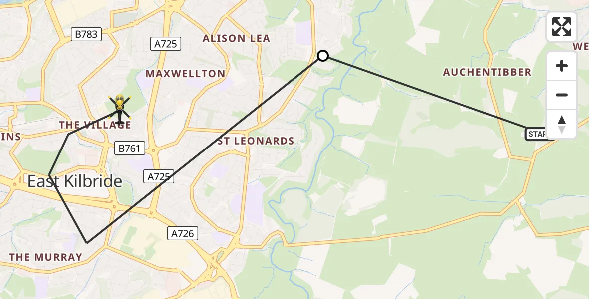
On Wednesday, 22 April 2026 at 18:24, a Police Helicopter departed from West Craigs to East Kilbride. It was the Police Helicopter with registration number G-POLS. The flight lasted 2 minutes. During that period, the aircraft travelled 4 miles at an average speed of 112 miles per hour at a maximum altitude of 1225 feet.
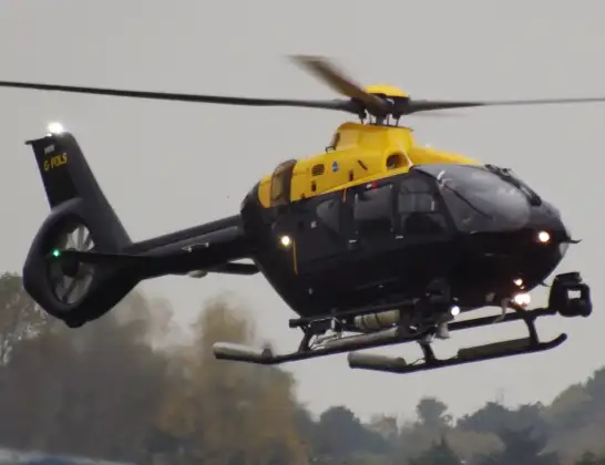
Helicopter: G-POLS
The helicopter G-POLS is used by the British police. The helicopter is deployed in pursuits, missing persons cases and other incidents where a helicopter provides added value.
Photo: James from Cheltenham, Gloucestershire
5 miles
1225 feet
112 mph
3 minutes
18:24
18:26

Route
Maxwell Drive, South Lanarkshire18:26
East Kilbride, South Lanarkshire18:24
Newhousemill Road, South Lanarkshire18:24
Live flights
Today
Helicopter flights on your website?
You can easily display helicopter flights on your own website. Use the embed code.
