Police Helicopter to Boverton, Northern Access Road
Wednesday, 22 April 2026 | 17:47 | From Weston General Hospital
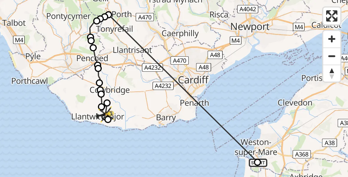
On Wednesday, 22 April 2026 at 17:47, a Police Helicopter departed from Weston General Hospital to Boverton. It was the Police Helicopter with registration number G-NWOI. The flight lasted 10 minutes. During that period, the aircraft travelled 49 miles at an average speed of 307 miles per hour at a maximum altitude of 1700 feet.
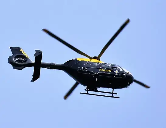
Helicopter: G-NWOI
The helicopter G-NWOI is used by the British police. The helicopter is deployed in pursuits, missing persons cases and other incidents where a helicopter provides added value.
Photo: Alec Wilson
49 miles
1700 feet
307 mph
10 minutes
17:47
17:57

Route
Northern Access Road, Vale of Glamorgan17:57
MOD St Athan, St Athan, Vale of Glamorgan17:57
Boverton, Vale of Glamorgan17:56
St Mary Church, Vale of Glamorgan17:56
Llanmaes, Vale of Glamorgan17:56
Sigingstone, Vale of Glamorgan17:55
Llysworney, Vale of Glamorgan17:55
Penllyn, Vale of Glamorgan17:54
Graig Penllyn, Vale of Glamorgan17:53
Llanilid, Rhondda Cynon Taf17:53
Pencoed, Bridgend17:52
Heol-y-cyw, Bridgend17:52
Coychurch Higher, Bridgend17:51
Ogmore Valley, Bridgend17:50
Evanstown, Rhondda Cynon Taf17:50
Pen-y-graig, Rhondda Cynon Taf17:50
Tonypandy, Rhondda Cynon Taf17:49
Uphill, North Somerset17:48
Uphill Road South, North Somerset17:47
Live flights
Today
Flights Boverton
Police Helicopter to MOD St Athan21 Jul 21:05
Police Helicopter to MOD St Athan21 Jul 19:47
Police Helicopter to MOD St Athan20 Jul 20:33
Police Helicopter to MOD St Athan20 Jul 19:51
Police Helicopter to Pontypridd, Garth Avenue20 Jul 15:22
Police Helicopter to Bridgend, Min Y Coed18 Jul 15:09
Police Helicopter to Abertillery, Cwm17 Jul 16:33
Police Helicopter to Boverton, Monmouth Way16 Jul 01:43
Police Helicopter to Boverton, Llanmaes10 Jul 19:54
Police Helicopter to Bonvilston, Boverton Road10 Jul 01:05
Helicopter flights on your website?
You can easily display helicopter flights on your own website. Use the embed code.
