Air Ambulance Helicopter to High Bickington, Taylor's Lane
Wednesday, 22 April 2026 | 14:18 | From Clyst Honiton
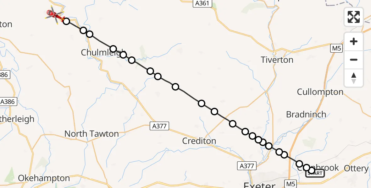
On Wednesday, 22 April 2026 at 14:18, a Air Ambulance Helicopter departed from Clyst Honiton to High Bickington. It was the Air Ambulance Helicopter with registration number G-DAAN. The flight lasted 11 minutes. During that period, the aircraft travelled 29 miles at an average speed of 164 miles per hour at a maximum altitude of 1300 feet.
Helicopter: G-DAAN
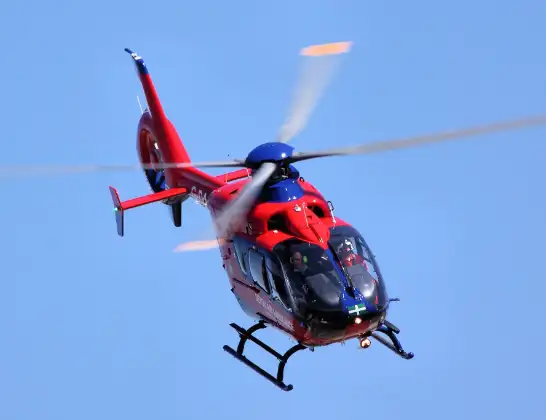
The helicopter G-DAAN is used as a air ambulance helicopter. The main purpose of this aircraft is to transport a Mobile Medical Team to an incident as quickly as possible, enabling the trauma doctor to provide immediate first aid on site. The aircraft is flying this flight as Air Ambulance Helicopter.
Photo: Tim Felce (Airwolfhound)
30 miles
1300 feet
164 mph
11 minutes
14:18
14:29

Route
Taylor's Lane, Devon14:29
North Devon, Devon14:28
Burrington, Devon14:28
North Devon, Devon14:27
Chulmleigh, Devon14:26
Chawleigh, Devon14:26
North Devon, Devon14:26
Mid Devon, Devon14:25
North Devon, Devon14:25
Morchard Bishop, Devon14:24
Kennerleigh, Devon14:23
Mid Devon, Devon14:22
Stockleigh Pomeroy, Devon14:22
Mid Devon, Devon14:21
Thorverton, Devon14:21
Brampford Speke, Devon14:21
Rewe, Devon14:20
Stoke Canon, Devon14:20
Rewe, Devon14:20
Poltimore, Devon14:19
Broadclyst, Devon14:19
Cranbrook, Devon14:18
Broadclyst, Devon14:18
Parsons Lane, Devon14:18
Live flights
Today
Helicopter flights on your website?
You can easily display helicopter flights on your own website. Use the embed code.
