Air Ambulance Helicopter to Little Clacton, London Road
Wednesday, 22 April 2026 | 11:41 | From Great Wilbraham
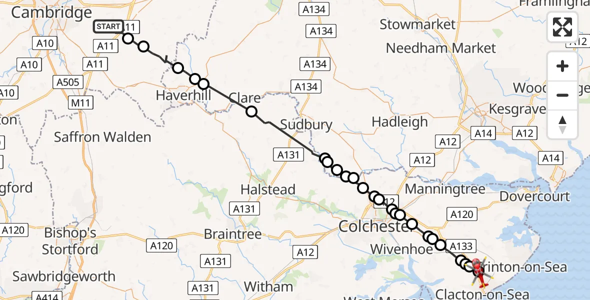
On Wednesday, 22 April 2026 at 11:41, a Air Ambulance Helicopter departed from Great Wilbraham to Little Clacton. It was the Air Ambulance Helicopter with registration number G-SCAA. The flight lasted 23 minutes. During that period, the aircraft travelled 48 miles at an average speed of 126 miles per hour at a maximum altitude of 1150 feet.
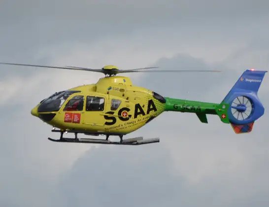
Helicopter: G-SCAA
The helicopter G-SCAA is used as a air ambulance helicopter. The main purpose of this aircraft is to transport a Mobile Medical Team to an incident as quickly as possible, enabling the trauma doctor to provide immediate first aid on site. The aircraft is flying this flight as Air Ambulance Helicopter.
Photo: Jonathan Payne
49 miles
1150 feet
126 mph
24 minutes
11:41
12:04

Route
London Road, Essex12:04
Little Clacton, Essex12:03
Weeley Heath, Essex12:03
Norwood Lodge Airstrip, Clacton-on-Sea, Essex12:02
Aingers Green, Essex12:02
Great Bentley, Essex12:01
Frating, Essex12:00
Great Bromley, Essex12:00
Elmstead Market, Essex11:59
Tendring, Essex11:58
Colchester, Essex11:58
Tendring, Essex11:58
Colchester, Essex11:57
Horkesley Heath, Essex11:57
Great Horkesley, Essex11:56
Little Horkesley, Essex11:55
Wormingford, Essex11:55
Babergh, Suffolk11:55
Bures, Suffolk11:54
Babergh, Suffolk11:54
Braintree, Essex11:50
Kedington, Suffolk11:47
Haverhill, Suffolk11:46
Great Thurlow, Suffolk11:45
Weston Colville, Cambridgeshire11:43
West Wratting, Cambridgeshire11:42
Great Wilbraham, Cambridgeshire11:41
Live flights
Today
Helicopter flights on your website?
You can easily display helicopter flights on your own website. Use the embed code.
