Air Ambulance Helicopter to King's Lynn and West Norfolk, Lynn Road
Wednesday, 22 April 2026 | 9:36 | From Long Sutton
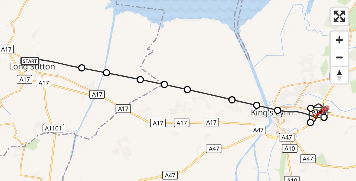
On Wednesday, 22 April 2026 at 9:36, a Air Ambulance Helicopter departed from Long Sutton to King's Lynn and West Norfolk. It was the Air Ambulance Helicopter with registration number G-LNCC. The flight lasted 10 minutes. During that period, the aircraft travelled 17 miles at an average speed of 104 miles per hour at a maximum altitude of 725 feet.
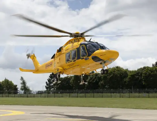
Helicopter: G-LNCC
The helicopter G-LNCC is used as a air ambulance helicopter. The main purpose of this aircraft is to transport a Mobile Medical Team to an incident as quickly as possible, enabling the trauma doctor to provide immediate first aid on site. The aircraft is flying this flight as Air Ambulance Helicopter.
Photo: Lincs & Notts
18 miles
725 feet
104 mph
10 minutes
09:36
09:46

Route
Lynn Road, Norfolk09:46
King's Lynn and West Norfolk, Norfolk09:44
King's Lynn, Norfolk09:44
King's Lynn and West Norfolk, Norfolk09:43
King's Lynn, Norfolk09:42
West Lynn, Norfolk09:41
Clenchwarton, Norfolk09:41
Little London, Norfolk09:40
Terrington St Clement, Norfolk09:39
South Holland, Lincolnshire09:39
Sutton Bridge, Lincolnshire09:38
South Holland, Lincolnshire09:38
Woad Lane, Lincolnshire09:37
Long Sutton, Lincolnshire09:36
Live flights
Today
Helicopter flights on your website?
You can easily display helicopter flights on your own website. Use the embed code.
