Air Ambulance Helicopter to Clacton-on-Sea, Old Road
Wednesday, 22 April 2026 | 9:17 | From Earls Colne Airfield
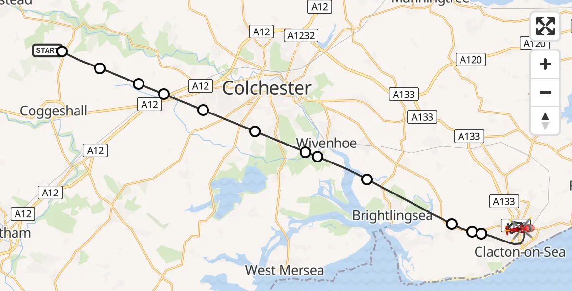
On Wednesday, 22 April 2026 at 9:17, a Air Ambulance Helicopter departed from Earls Colne Airfield to Clacton-on-Sea. It was the Air Ambulance Helicopter with registration number G-EHAT. The flight lasted 14 minutes. During that period, the aircraft travelled 24 miles at an average speed of 104 miles per hour at a maximum altitude of 625 feet.
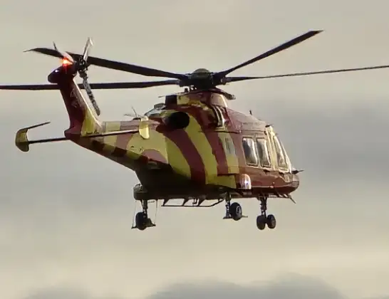
Helicopter: G-EHAT
The helicopter G-EHAT is used as a air ambulance helicopter. The main purpose of this aircraft is to transport a Mobile Medical Team to an incident as quickly as possible, enabling the trauma doctor to provide immediate first aid on site. The aircraft is flying this flight as Air Ambulance Helicopter.
Photo: By Steve Knight
25 miles
625 feet
104 mph
15 minutes
09:17
09:31

Route
Old Road, Essex09:31
Clacton-on-Sea, Essex09:26
Lodge Farm Airstrip, Clacton-on-Sea, Essex09:26
St Osyth, Essex09:26
Brightlingsea, Essex09:24
Fingringhoe, Essex09:23
Rowhedge, Essex09:23
Berechurch, Essex09:22
Colchester, Essex09:21
Copford, Essex09:20
Aldham, Essex09:19
Great Tey, Essex09:19
Braintree, Essex09:18
Earls Colne Airfield, Colchester, Essex09:17
Live flights
Police Helicopter on its way from Coopersale21 Jul 22:51
Today
Air Ambulance Helicopter to Norwich Airport21 Jul 22:28
Police Helicopter to Benson, Brook Street21 Jul 22:12
Police Helicopter to Birmingham Airport21 Jul 22:04
Air Ambulance Helicopter to Ilfracombe, A36121 Jul 22:03
Coastguard Helicopter to Achmacraobh21 Jul 21:27
Flights Clacton-on-Sea
Air Ambulance Helicopter to Colchester Hospital10 Jul 17:40
Air Ambulance Helicopter to Earls Colne Airfield26 Jun 11:39
Air Ambulance Helicopter to Clacton Airfield29 May 12:09
Air Ambulance Helicopter to Colchester Hospital28 May 11:16
Helicopter flights on your website?
You can easily display helicopter flights on your own website. Use the embed code.
