Air Ambulance Helicopter to Newcastle Royal Victoria Infirmary
Wednesday, 22 April 2026 | 9:07 | From Newton Aycliffe
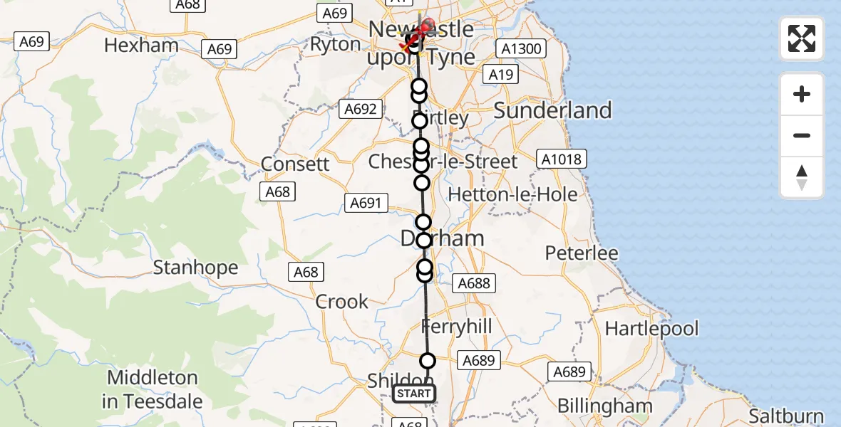
On Wednesday, 22 April 2026 at 9:07, a Air Ambulance Helicopter departed from Newton Aycliffe to Newcastle Royal Victoria Infirmary. It was the Air Ambulance Helicopter with registration number G-NHAD. The flight lasted 12 minutes. During that period, the aircraft travelled 26 miles at an average speed of 132 miles per hour at a maximum altitude of 975 feet.
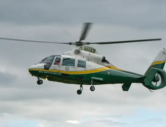
Helicopter: G-NHAD
The helicopter G-NHAD is used as a air ambulance helicopter. The main purpose of this aircraft is to transport a Mobile Medical Team to an incident as quickly as possible, enabling the trauma doctor to provide immediate first aid on site. The aircraft is flying this flight as Air Ambulance Helicopter.
Photo: Samloynes 1
26 miles
975 feet
132 mph
12 minutes
09:07
09:19

Route
Newcastle Royal Victoria Infirmary, Newcastle upon Tyne09:19
Newcastle Royal Victoria Infirmary, Newcastle upon Tyne09:18
Spital Tongues, Newcastle upon Tyne09:18
Grainger Town, Newcastle upon Tyne09:17
Gateshead, Gateshead09:16
Birtley, Gateshead09:16
Gateshead, Gateshead09:15
High Handenhold, County Durham09:14
Perkinsville, County Durham09:14
Chester-le-Street, County Durham09:14
Chester Moor, County Durham09:13
Witton Gilbert, County Durham09:12
Durham, County Durham09:12
Langley Moor, County Durham09:11
Meadowfield, County Durham09:11
Spennymoor, County Durham09:08
Locomotion Way, County Durham09:07
Today
Helicopter flights on your website?
You can easily display helicopter flights on your own website. Use the embed code.
