Police Helicopter to Bournemouth Airport
Tuesday, 21 April 2026 | 18:12 | From Bournemouth Airport
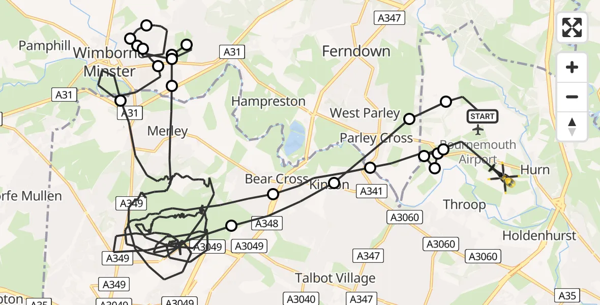
On Tuesday, 21 April 2026 at 18:12, a Police Helicopter departed from Bournemouth Airport to Bournemouth Airport. It was the Police Helicopter with registration number G-CPAO. The flight lasted 65 minutes. During that period, the aircraft travelled 43 miles at an average speed of 41 miles per hour at a maximum altitude of 1600 feet.
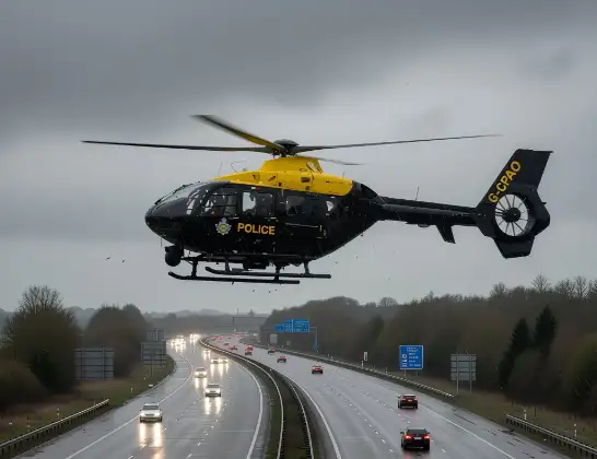
Helicopter: G-CPAO
The helicopter G-CPAO is used by the British police. The helicopter is deployed in pursuits, missing persons cases and other incidents where a helicopter provides added value.
Photo: Tony Melony
44 miles
1600 feet
41 mph
66 minutes
18:12
19:17

Route
Bournemouth Airport, Bournemouth19:17
Bournemouth Airport, Bournemouth19:16
Parley Cross, Dorset19:16
Hurn, Bournemouth, Christchurch and Poole19:16
Bournemouth Airport, Bournemouth19:15
Parley Cross, Dorset19:15
Bournemouth, Bournemouth, Christchurch and Poole19:14
Poole, Bournemouth, Christchurch and Poole18:57
Wimborne Minster, Dorset18:55
Furzehill, Dorset18:55
Wimborne Minster, Dorset18:54
Furzehill, Dorset18:53
Wimborne Minster, Dorset18:52
Furzehill, Dorset18:52
Hayes, Dorset18:51
Furzehill, Dorset18:51
Wimborne Minster, Dorset18:51
Poole, Bournemouth, Christchurch and Poole18:15
Bournemouth, Bournemouth, Christchurch and Poole18:14
Parley Cross, Dorset18:13
Christchurch, Bournemouth, Christchurch and Poole18:13
Bournemouth Airport, Bournemouth18:12
Live flights
Today
Helicopter flights on your website?
You can easily display helicopter flights on your own website. Use the embed code.
