Air Ambulance Helicopter to West Littleton, Sands Hill
Tuesday, 21 April 2026 | 18:08 | From Wiltshire Air Ambulance
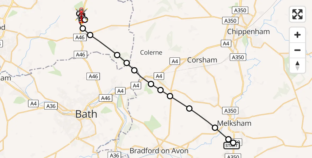
On Tuesday, 21 April 2026 at 18:08, a Air Ambulance Helicopter departed from Wiltshire Air Ambulance to West Littleton. It was the Air Ambulance Helicopter with registration number G-WLTS. The flight lasted 7 minutes. During that period, the aircraft travelled 15 miles at an average speed of 124 miles per hour at a maximum altitude of 1025 feet.
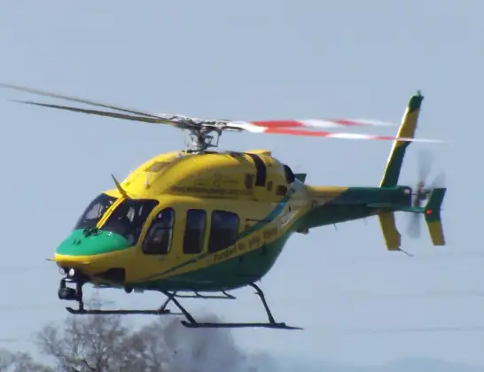
Helicopter: G-WLTS
The helicopter G-WLTS is used as a air ambulance helicopter. The main purpose of this aircraft is to transport a Mobile Medical Team to an incident as quickly as possible, enabling the trauma doctor to provide immediate first aid on site. The aircraft is flying this flight as Air Ambulance Helicopter.
Photo: James
16 miles
1025 feet
124 mph
8 minutes
18:08
18:15

Route
West Littleton, South Gloucestershire18:15
Sands Hill, South Gloucestershire18:15
West Littleton, South Gloucestershire18:15
Marshfield, South Gloucestershire18:14
West Littleton, South Gloucestershire18:13
Marshfield, South Gloucestershire18:13
The Folly, South Gloucestershire18:13
Marshfield, South Gloucestershire18:12
Batheaston, Bath and North East Somerset18:11
Bathford, Bath and North East Somerset18:11
Ashley, Wiltshire18:11
Box, Wiltshire18:11
Lower Wraxall, Wiltshire18:10
Atworth, Wiltshire18:10
Broughton Gifford, Wiltshire18:09
Berryfield, Wiltshire18:09
Melksham, Wiltshire18:08
Commerce Way, Wiltshire18:08
Live flights
Today
Helicopter flights on your website?
You can easily display helicopter flights on your own website. Use the embed code.
