Police Helicopter to Tonbridge and Malling, Bank Lane
Tuesday, 21 April 2026 | 17:47 | From South Nutfield
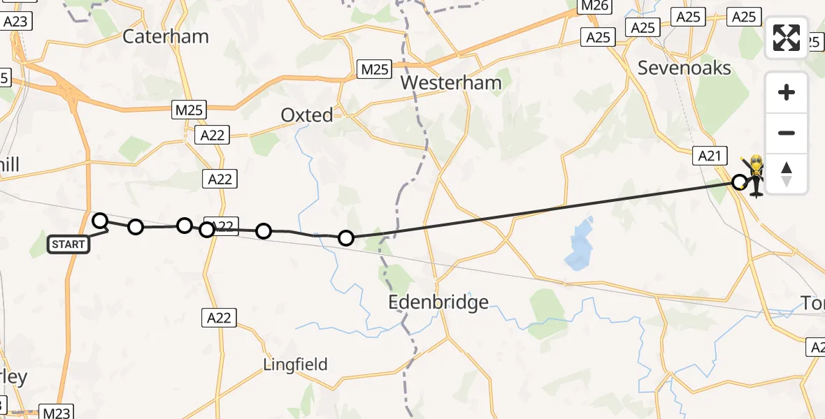
On Tuesday, 21 April 2026 at 17:47, a Police Helicopter departed from South Nutfield to Tonbridge and Malling. It was the Police Helicopter with registration number G-POLH. The flight lasted 8 minutes. During that period, the aircraft travelled 16 miles at an average speed of 120 miles per hour at a maximum altitude of 800 feet.
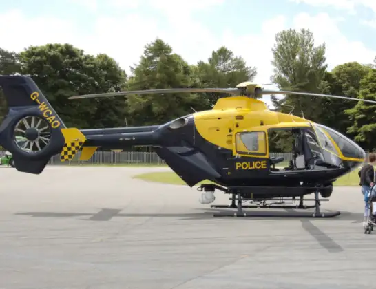
Helicopter: G-POLH
The helicopter G-POLH is used by the British police. The helicopter is deployed in pursuits, missing persons cases and other incidents where a helicopter provides added value.
Photo: Arpingstone
17 miles
800 feet
120 mph
9 minutes
17:47
17:55

Route
Bank Lane, Kent17:55
Tonbridge and Malling, Kent17:54
Merle Common, Surrey17:50
Crowhurst, Surrey17:49
South Godstone, Surrey17:48
Blindley Heath, Surrey17:48
Tandridge, Surrey17:47
Bletchingley, Surrey17:47
Crab Hill Lane, Surrey17:47
Live flights
Today
Helicopter flights on your website?
You can easily display helicopter flights on your own website. Use the embed code.
