Air Ambulance Helicopter to Kings College London Hospital
Tuesday, 21 April 2026 | 17:34 | From Tonbridge and Malling
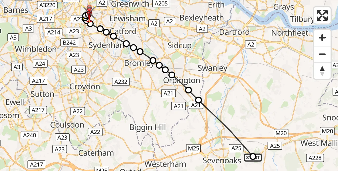
On Tuesday, 21 April 2026 at 17:34, a Air Ambulance Helicopter departed from Tonbridge and Malling to Kings College London Hospital. It was the Air Ambulance Helicopter with registration number G-KSSC. The flight lasted 12 minutes. During that period, the aircraft travelled 21 miles at an average speed of 106 miles per hour at a maximum altitude of 1025 feet.
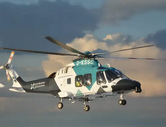
Helicopter: G-KSSC
The helicopter G-KSSC is used as a air ambulance helicopter. The main purpose of this aircraft is to transport a Mobile Medical Team to an incident as quickly as possible, enabling the trauma doctor to provide immediate first aid on site. The aircraft is flying this flight as Air Ambulance Helicopter.
Photo: Shona aakss
21 miles
1025 feet
106 mph
12 minutes
17:34
17:46

Route
Kings College London Hospital, London17:46
Kings College London Hospital, London17:44
Kings College London Hospital, London17:44
Camberwell, Lambeth17:43
Loughborough Junction, Lambeth17:43
Dulwich Village, Lambeth17:43
Dulwich Village, Southwark17:42
East Dulwich, Southwark17:42
Forest Hill, Lewisham17:42
Perry Vale, Lewisham17:41
Southend, Lewisham17:41
Downham, Lewisham17:41
Plaistow, Bromley17:40
Elmstead, Bromley17:40
Bickley, Bromley17:40
Petts Wood, Bromley17:39
Poverest, Bromley17:39
Goddington, Bromley17:38
Bopeep, Bromley17:38
Sevenoaks, Kent17:34
MR416, Kent17:34
Live flights
Today
Police Helicopter to Ewelme20:13:43
Helicopter flights on your website?
You can easily display helicopter flights on your own website. Use the embed code.
