Air Ambulance Helicopter to Wiltshire Air Ambulance, Commerce Way
Tuesday, 21 April 2026 | 9:33 | From Midsomer Norton
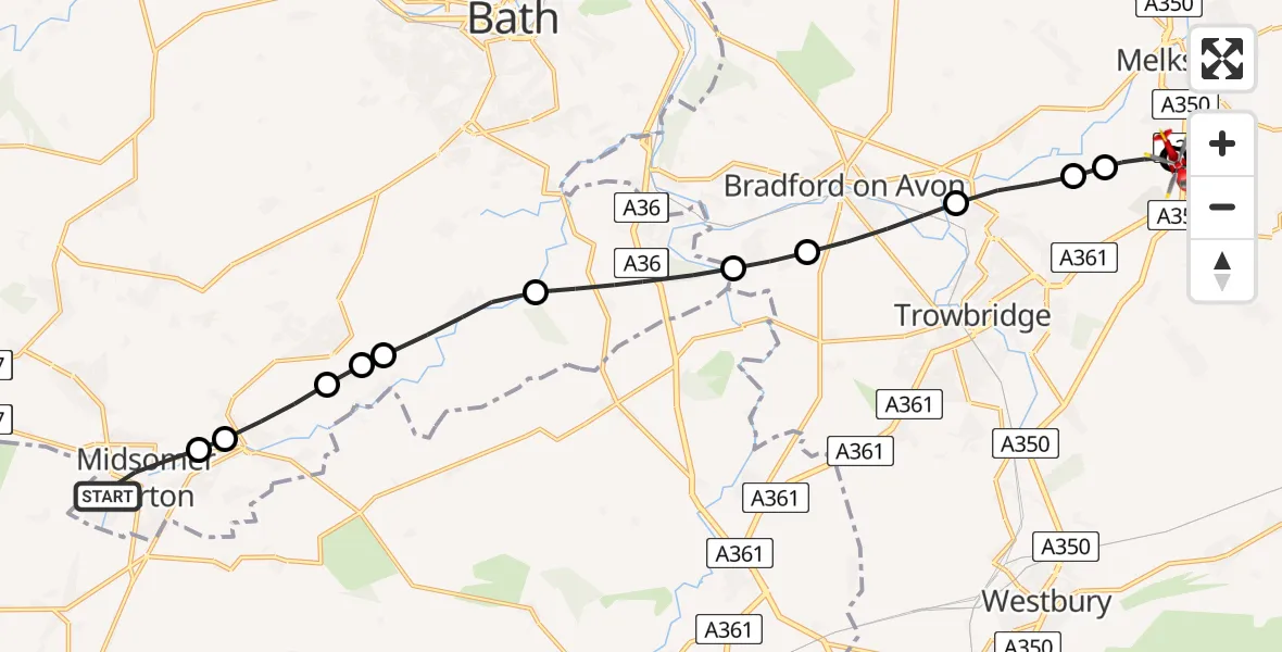
On Tuesday, 21 April 2026 at 9:33, a Air Ambulance Helicopter departed from Midsomer Norton to Wiltshire Air Ambulance. It was the Air Ambulance Helicopter with registration number G-WLTS. The flight lasted 10 minutes. During that period, the aircraft travelled 16 miles at an average speed of 99 miles per hour at a maximum altitude of 875 feet.
Helicopter: G-WLTS
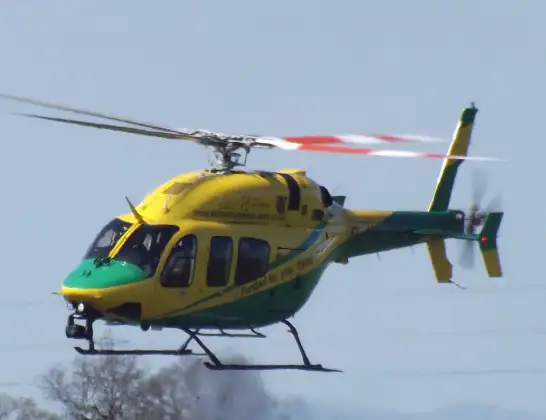
The helicopter G-WLTS is used as a air ambulance helicopter. The main purpose of this aircraft is to transport a Mobile Medical Team to an incident as quickly as possible, enabling the trauma doctor to provide immediate first aid on site. The aircraft is flying this flight as Air Ambulance Helicopter.
Photo: James
17 miles
875 feet
99 mph
10 minutes
09:33
09:43

Route
Wiltshire Air Ambulance09:43
Wiltshire Air Ambulance09:43
Commerce Way, Wiltshire09:43
Trowbridge, Wiltshire09:42
Semington, Wiltshire09:41
Hilperton, Wiltshire09:41
Staverton, Wiltshire09:40
Bradford-on-Avon, Wiltshire09:39
Westwood, Wiltshire09:39
Hinton Charterhouse, Bath and North East Somerset09:37
Wellow, Bath and North East Somerset09:36
Shoscombe, Bath and North East Somerset09:36
Peasedown St. John, Bath and North East Somerset09:36
Radstock, Bath and North East Somerset09:35
Waterside, Bath and North East Somerset09:35
Clapton Road, Bath and North East Somerset09:33
Live flights
Today
Helicopter flights on your website?
You can easily display helicopter flights on your own website. Use the embed code.
