Air Ambulance Helicopter to Blackpool Airport
Sunday, 19 April 2026 | 19:11 | From Knotty Ash
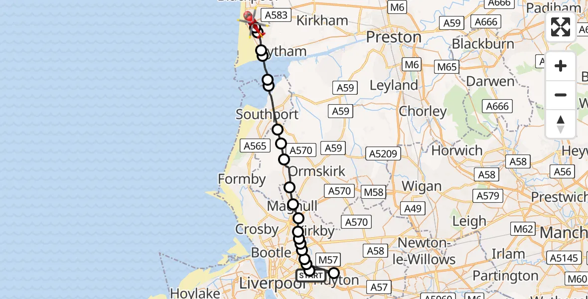
On Sunday, 19 April 2026 at 19:11, a Air Ambulance Helicopter departed from Knotty Ash to Blackpool Airport. It was the Air Ambulance Helicopter with registration number G-NWAA. The flight lasted 12 minutes. During that period, the aircraft travelled 30 miles at an average speed of 151 miles per hour at a maximum altitude of 700 feet.
Helicopter: G-NWAA
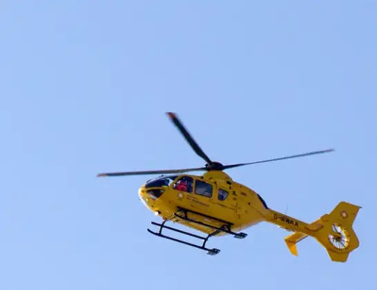
The helicopter G-NWAA is used as a air ambulance helicopter. The main purpose of this aircraft is to transport a Mobile Medical Team to an incident as quickly as possible, enabling the trauma doctor to provide immediate first aid on site. The aircraft is flying this flight as Air Ambulance Helicopter.
Photo: David P Howard
31 miles
700 feet
151 mph
13 minutes
19:11
19:23

Route
Blackpool Airport, Blackpool19:23
Blackpool Airport, Blackpool19:23
Common Edge, Blackpool19:23
Lytham St Annes, Lancashire19:22
Fylde, Lancashire19:22
West Lancashire, Lancashire19:21
Sefton, Southport19:20
Southport, Sefton19:18
West Lancashire, Lancashire19:18
Halsall, Lancashire19:17
Downholland Cross, Lancashire19:16
Lydiate, Sefton19:15
Maghull, Sefton19:14
Waddicar, Sefton19:14
Kirkby, Liverpool19:13
Aintree University Hospital Heliport19:13
Fazakerley, Liverpool19:13
Norris Green, Liverpool19:12
Croxteth, Liverpool19:12
Huyton, Knowsley19:12
West Derby, Liverpool19:12
South Drive, Merseyside - Liverpool19:11
Live flights
Today
Helicopter flights on your website?
You can easily display helicopter flights on your own website. Use the embed code.
