Police Helicopter to Brandy Carr, Stoney Lane
Saturday, 18 April 2026 | 23:37 | From Walton Wood Airfield
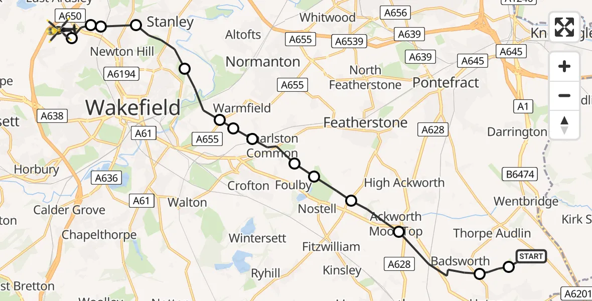
On Saturday, 18 April 2026 at 23:37, a Police Helicopter departed from Walton Wood Airfield to Brandy Carr. It was the Police Helicopter with registration number G-POLB. The flight lasted 8 minutes. During that period, the aircraft travelled 14 miles at an average speed of 103 miles per hour at a maximum altitude of 1300 feet.
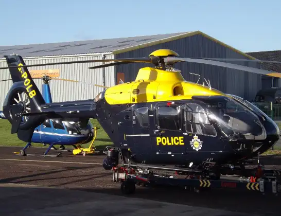
Helicopter: G-POLB
The helicopter G-POLB is used by the British police. The helicopter is deployed in pursuits, missing persons cases and other incidents where a helicopter provides added value.
Photo: James from Cheltenham, Gloucestershire
15 miles
1300 feet
103 mph
9 minutes
23:37
23:46

Route
Stoney Lane, West Yorkshire - Wakefield23:46
East Ardsley, Wakefield23:45
Lofthouse Gate, Wakefield23:45
Newton Hill, Wakefield23:45
Lofthouse Gate, Wakefield23:44
Stanley, Wakefield23:43
Kirkthorpe, Wakefield23:42
New Sharlston, Wakefield23:42
Crofton, Wakefield23:42
Sharlston, Wakefield23:41
Nostell, Wakefield23:41
Wragby, Wakefield23:40
Ackworth Moor Top, Wakefield23:40
Badsworth, Wakefield23:38
North Elmsall, Wakefield23:38
Walton Wood Airfield, Pontefract, West Yorkshire23:37
Live flights
Today
Helicopter flights on your website?
You can easily display helicopter flights on your own website. Use the embed code.
