Police Helicopter to Brandy Carr, Stoney Lane
Saturday, 18 April 2026 | 19:39 | From East Ardsley
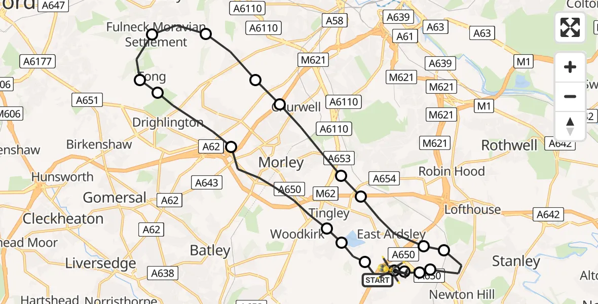
On Saturday, 18 April 2026 at 19:39, a Police Helicopter departed from East Ardsley to Brandy Carr. It was the Police Helicopter with registration number G-POLB. The flight lasted 10 minutes. During that period, the aircraft travelled 18 miles at an average speed of 114 miles per hour at a maximum altitude of 1300 feet.
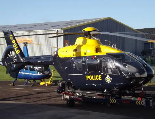
Helicopter: G-POLB
The helicopter G-POLB is used by the British police. The helicopter is deployed in pursuits, missing persons cases and other incidents where a helicopter provides added value.
Photo: James from Cheltenham, Gloucestershire
19 miles
1300 feet
114 mph
10 minutes
19:39
19:48

Route
Stoney Lane, West Yorkshire - Wakefield19:48
Brandy Carr, Wakefield19:48
East Ardsley, Wakefield19:48
Wrenthorpe, Wakefield19:47
Lofthouse Gate, Wakefield19:47
Newton Hill, Wakefield19:46
Lofthouse Gate, Wakefield19:46
East Ardsley, Leeds19:45
Tingley, Leeds19:45
Morley, Leeds19:44
Gildersome, Leeds19:44
Pudsey, Leeds19:43
Fulneck Moravian Settlement, Leeds19:43
Tong, Bradford19:42
Drighlington, Bradford19:42
Gildersome, Leeds19:41
Morley, Leeds19:40
Woodkirk, Leeds19:39
East Ardsley, Leeds19:39
M1, West Yorkshire - Leeds19:39
Live flights
Helicopter flights on your website?
You can easily display helicopter flights on your own website. Use the embed code.
