Air Ambulance Helicopter to Dollis Hill, Dollis Hill Lane
Saturday, 18 April 2026 | 17:25 | From Royal London Hospital
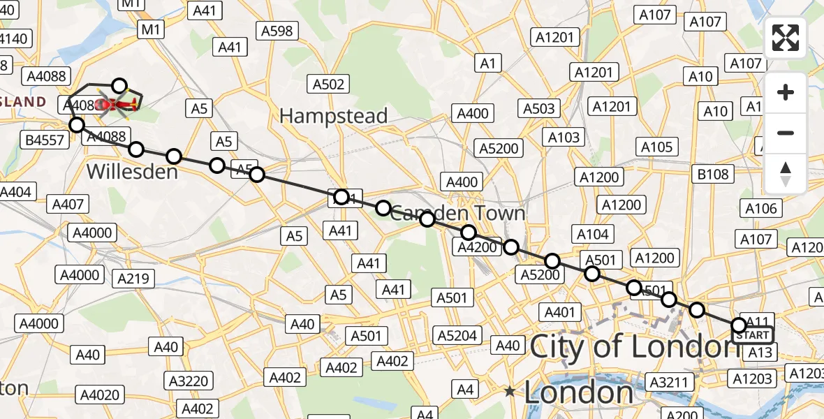
On Saturday, 18 April 2026 at 17:25, a Air Ambulance Helicopter departed from Royal London Hospital to Dollis Hill. It was the Air Ambulance Helicopter with registration number G-LAAA. The flight lasted 11 minutes. During that period, the aircraft travelled 11 miles at an average speed of 59 miles per hour at a maximum altitude of 975 feet.
Helicopter: G-LAAA
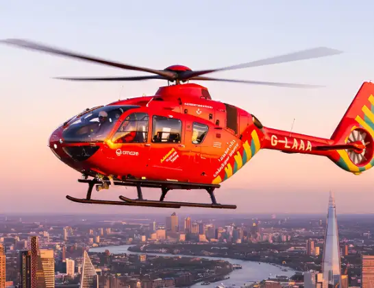
The helicopter G-LAAA is used as a air ambulance helicopter. The main purpose of this aircraft is to transport a Mobile Medical Team to an incident as quickly as possible, enabling the trauma doctor to provide immediate first aid on site. The aircraft is flying this flight as Air Ambulance Helicopter.
Photo: Ton Snoei
11 miles
975 feet
59 mph
11 minutes
17:25
17:36

Route
Dollis Hill, Brent17:36
Dollis Hill Lane, Greater London - Brent17:36
Dollis Hill Lane, Greater London - Brent17:36
Dollis Hill, Brent17:34
Brent, Brent17:33
Dollis Hill, Brent17:32
Mapesbury, Brent17:32
Kilburn, Brent17:32
West Hampstead, Camden17:32
South Hampstead, Camden17:31
Belsize Park, Camden17:31
Chalk Farm, Camden17:31
St Pancras, Camden17:30
King's Cross, Camden17:30
King's Cross, Islington17:30
Islington, Islington17:30
Finsbury, Islington17:29
Shoreditch, Hackney17:29
Shoreditch, Tower Hamlets17:29
Whitechapel, Tower Hamlets17:28
Royal London Hospital, London17:28
Royal London Hospital, London17:25
Live flights
Today
Helicopter flights on your website?
You can easily display helicopter flights on your own website. Use the embed code.
