Police Helicopter to City of Westminster, North Audley Street
Saturday, 18 April 2026 | 13:59 | From Sewardstonebury
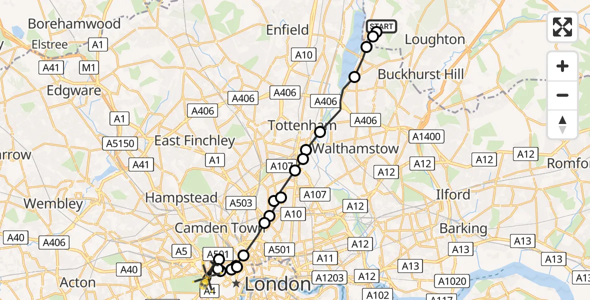
On Saturday, 18 April 2026 at 13:59, a Police Helicopter departed from Sewardstonebury to City of Westminster. It was the Police Helicopter with registration number G-MPSB. The flight lasted 12 minutes. During that period, the aircraft travelled 17 miles at an average speed of 81 miles per hour at a maximum altitude of 1150 feet.
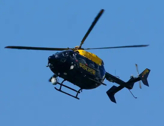
Helicopter: G-MPSB
The helicopter G-MPSB is used by the British police. The helicopter is deployed in pursuits, missing persons cases and other incidents where a helicopter provides added value.
Photo: Peter Trimming
17 miles
1150 feet
81 mph
13 minutes
13:59
14:11

Route
North Audley Street, Greater London - Westminster14:11
City of Westminster, Westminster14:08
Bloomsbury, Westminster14:08
City of Westminster, Westminster14:05
City of Westminster, Camden14:05
City of Westminster, Westminster14:04
City of Westminster, Camden14:04
Great Ormond Street Hospital, London14:04
Islington, Islington14:03
Highbury, Islington14:03
Highbury, Hackney14:02
Highbury, Islington14:02
Stamford Hill, Hackney14:02
Stamford Hill, Haringey14:02
Gaunson House, Haringey14:02
Haringey, Haringey14:01
Waltham Forest, Waltham Forest14:00
Chingford, Waltham Forest13:59
Sewardstonebury, Essex13:59
Chingford, Essex13:59
Daws Hill, Essex13:59
Live flights
Today
Police Helicopter to Birmingham Airport10 Jun 23:20
Flights Sewardstonebury
Police Helicopter to Sewardstonebury, Bury Road10 Jun 21:58
Police Helicopter to Sewardstonebury, Blind Lane10 Jun 18:19
Police Helicopter to Sewardstonebury, Green Ride10 Jun 16:35
Police Helicopter to Kingsbury, Cool Oak Lane10 Jun 15:59
Helicopter flights on your website?
You can easily display helicopter flights on your own website. Use the embed code.
