Police Helicopter to Birmingham Airport
Friday, 17 April 2026 | 15:55 | From Solihull
On Friday, 17 April 2026 at 15:55, a Police Helicopter departed from Solihull to Birmingham Airport. It was the Police Helicopter with registration number G-TVHB. The flight lasted 11 minutes. During that period, the aircraft travelled 27 miles at an average speed of 148 miles per hour at a maximum altitude of 1325 feet.
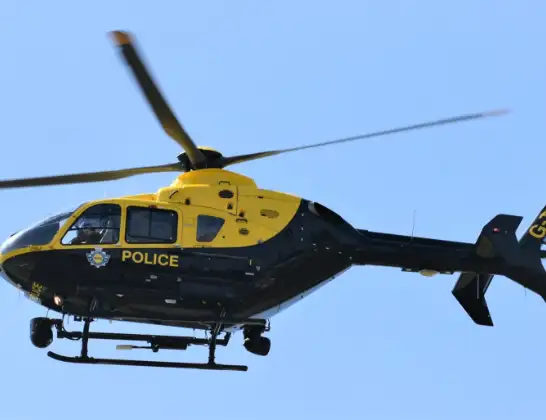
Helicopter: G-TVHB
The helicopter G-TVHB is used by the British police. The helicopter is deployed in pursuits, missing persons cases and other incidents where a helicopter provides added value.
Photo: Alec Wilson
27 miles
1325 feet
148 mph
11 minutes
15:55
16:06

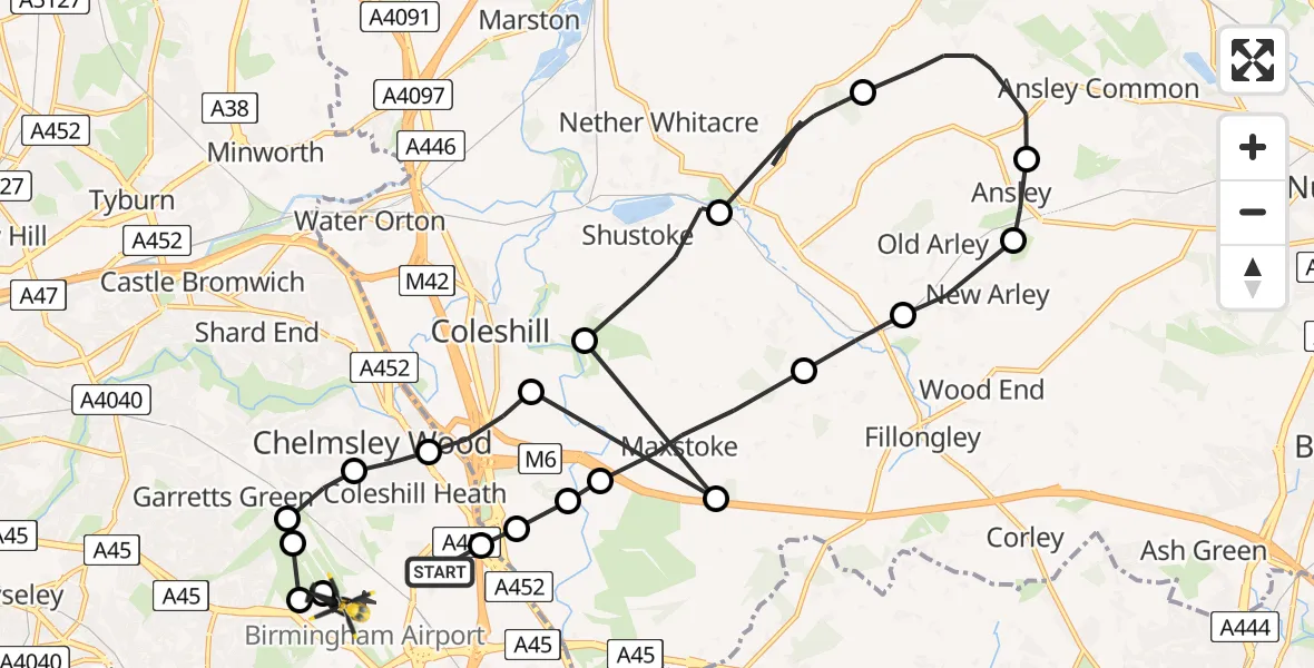
Route
Birmingham Airport, Birmingham, West Midlands16:06
Birmingham Airport, Birmingham, West Midlands16:06
Sheldon, Solihull16:06
Birmingham Airport, Birmingham, West Midlands16:05
Tile Cross, Birmingham16:05
Solihull, Solihull16:05
Chelmsley Wood, Solihull16:04
Coleshill CP, Warwickshire16:04
Maxstoke, Warwickshire16:03
Coleshill CP, Warwickshire16:03
Shustoke, Warwickshire16:02
North Warwickshire, Warwickshire16:00
Ansley CP, Warwickshire15:59
New Arley, Warwickshire15:58
Old Arley, Warwickshire15:58
Fillongley CP, Warwickshire15:57
Maxstoke, Warwickshire15:56
North Warwickshire, Warwickshire15:56
Solihull, Warwickshire15:56
Solihull, Solihull15:56
Perimeter Road, West Midlands - Solihull15:55
Live flights
Today
Flights Solihull
Police Helicopter to Solihull, Commissary Road12 Jul 13:52
Police Helicopter to Birmingham Airport10 Jul 13:28
Police Helicopter to Solihull, Centro Way10 Jul 02:38
Air Ambulance Helicopter to Coventry Airport9 Jul 19:09
Police Helicopter to Birmingham Airport9 Jul 18:32
Police Helicopter to Solihull, Terminal Road9 Jul 15:17
Police Helicopter to Solihull, Centro Way9 Jul 10:05
Police Helicopter to Solihull, Centro Way9 Jul 03:05
Helicopter flights on your website?
You can easily display helicopter flights on your own website. Use the embed code.
