Air Ambulance Helicopter to City of Nottingham, University Boulevard
Friday, 17 April 2026 | 13:13 | From Rempstone
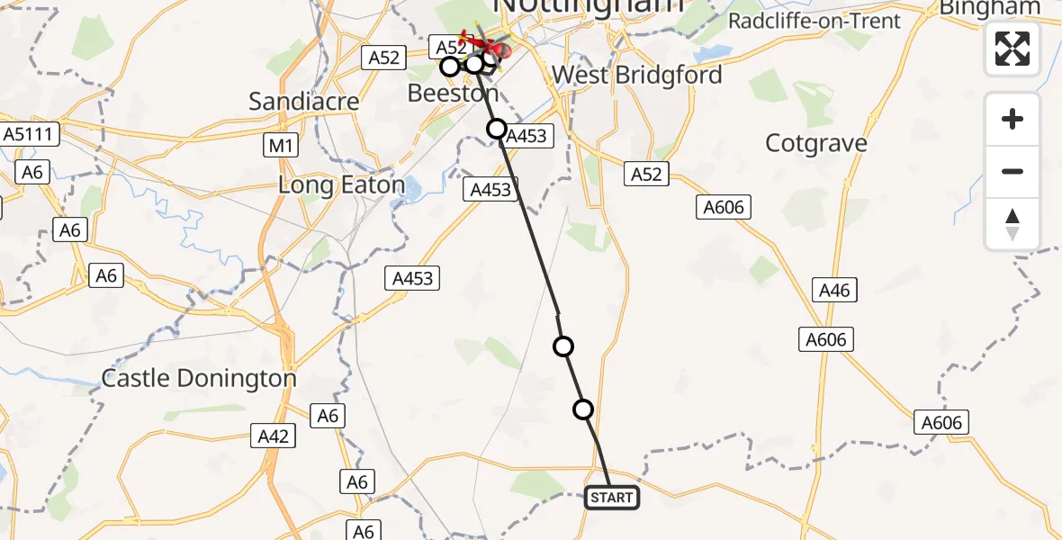
On Friday, 17 April 2026 at 13:13, a Air Ambulance Helicopter departed from Rempstone to City of Nottingham. It was the Air Ambulance Helicopter with registration number G-DRLA. The flight lasted 5 minutes. During that period, the aircraft travelled 13 miles at an average speed of 148 miles per hour at a maximum altitude of 975 feet.
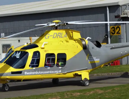
Helicopter: G-DRLA
The helicopter G-DRLA is used as an ambulance helicopter. The helicopter is equipped with a stretcher for transporting patients. The helicopter is often used to transport to hospitals.
Photo: Alec Wilson
13 miles
975 feet
148 mph
6 minutes
13:13
13:18

Route
University Boulevard, Nottingham13:18
City of Nottingham, Nottingham13:17
Beeston, Nottinghamshire13:17
City of Nottingham, Nottingham13:16
Beeston, Nottinghamshire13:15
East Leake, Nottinghamshire13:14
Costock, Nottinghamshire13:14
Rempstone, Nottinghamshire13:13
Live flights
Today
Flights Rempstone
Helicopter flights on your website?
You can easily display helicopter flights on your own website. Use the embed code.
