Coastguard Helicopter to Sleat - Slèite, A851
Friday, 17 April 2026 | 12:07 | From Argyll and Bute
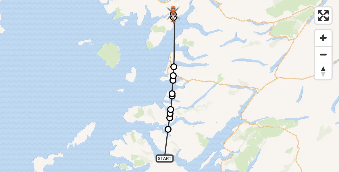
On Friday, 17 April 2026 at 12:07, a Coastguard Helicopter departed from Argyll and Bute to Sleat - Slèite. It was the Coastguard Helicopter with registration number G-MCGT. The flight lasted 15 minutes. During that period, the aircraft travelled 46 miles at an average speed of 183 miles per hour at a maximum altitude of 2600 feet.

Helicopter: G-MCGT
The helicopter G-MCGT is used by the British Coastguard. The helicopter is deployed in search and rescue operations at sea, rescue operations involving ships or drilling platforms, patrols to prevent smuggling or piracy, environmental monitoring and disaster relief support.
Photo: Ronnie Macdonald
46 miles
2600 feet
183 mph
16 minutes
12:07
12:22

Route
A851, Highland12:22
Sleat - Slèite, Highland12:22
Duisdalemore - Duisdeil Mòr, Highland12:22
Inner Seas12:17
Arisaig, Highland12:16
Druimindarach, Highland12:16
Inner Seas12:15
Glenuig, Highland12:14
Acharacle, Highland12:13
Arivegaig, Highland12:13
Highland, Highland12:12
Camasglas, Highland12:11
A849, Argyll and Bute12:07
Live flights
Today
Helicopter flights on your website?
You can easily display helicopter flights on your own website. Use the embed code.
