Air Ambulance Helicopter to Newcastle International Airport
Thursday, 16 April 2026 | 14:33 | From Newcastle Royal Victoria Infirmary
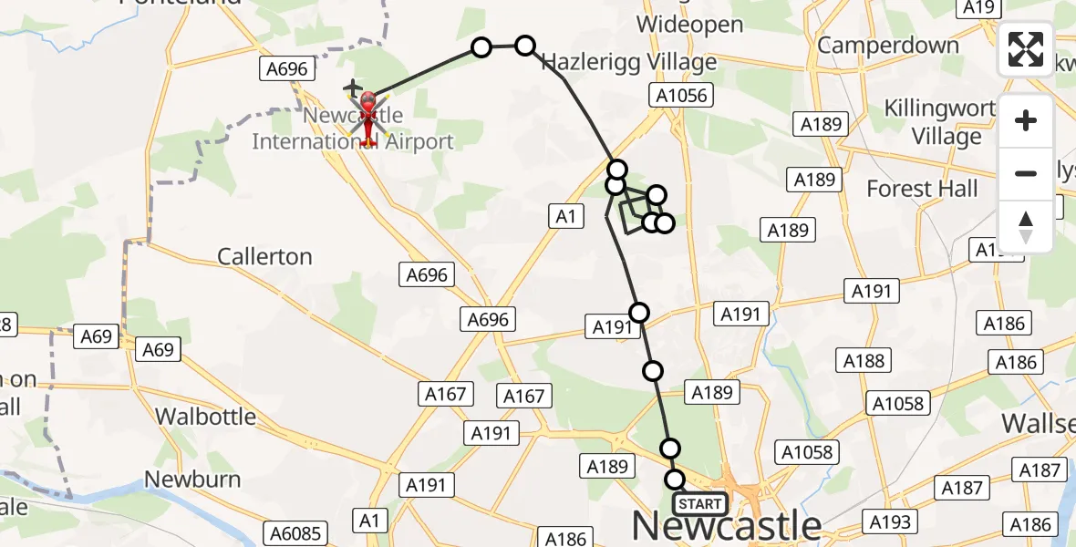
On Thursday, 16 April 2026 at 14:33, a Air Ambulance Helicopter departed from Newcastle Royal Victoria Infirmary to Newcastle International Airport. It was the Air Ambulance Helicopter with registration number G-CPTZ. The flight lasted 13 minutes. During that period, the aircraft travelled 9 miles at an average speed of 42 miles per hour at a maximum altitude of 1100 feet.
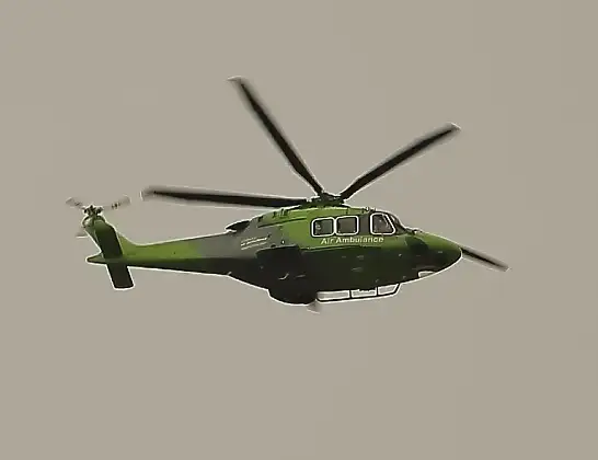
Helicopter: G-CPTZ
The helicopter G-CPTZ is used as an ambulance helicopter. The helicopter is equipped with a stretcher for transporting patients. The helicopter is often used to transport to hospitals.
Photo: simon butler
10 miles
1100 feet
42 mph
14 minutes
14:33
14:46

Route
Newcastle International Airport, Newcastle upon Tyne, Tyne and Wear14:46
Newcastle International Airport, Newcastle upon Tyne, Tyne and Wear14:45
Newcastle International Airport, Newcastle upon Tyne, Tyne and Wear14:44
Newcastle International Airport, Newcastle upon Tyne, Tyne and Wear14:42
Dinnington, Newcastle upon Tyne14:42
Hazlerigg Village, Newcastle upon Tyne14:41
Coxlodge, Newcastle upon Tyne14:41
Hazlerigg Village, Newcastle upon Tyne14:40
Coxlodge, Newcastle upon Tyne14:40
Hazlerigg Village, Newcastle upon Tyne14:39
Coxlodge, Newcastle upon Tyne14:38
Gosforth, Newcastle upon Tyne14:38
Haymarket, Newcastle upon Tyne14:38
Cowgate, Newcastle upon Tyne14:37
Newcastle Royal Victoria Infirmary, Newcastle upon Tyne14:36
Newcastle Royal Victoria Infirmary, Newcastle upon Tyne14:33
Today
Helicopter flights on your website?
You can easily display helicopter flights on your own website. Use the embed code.
