Air Ambulance Helicopter to Weymouth, Park View Grove
Thursday, 16 April 2026 | 11:36 | From Henstridge Airfield
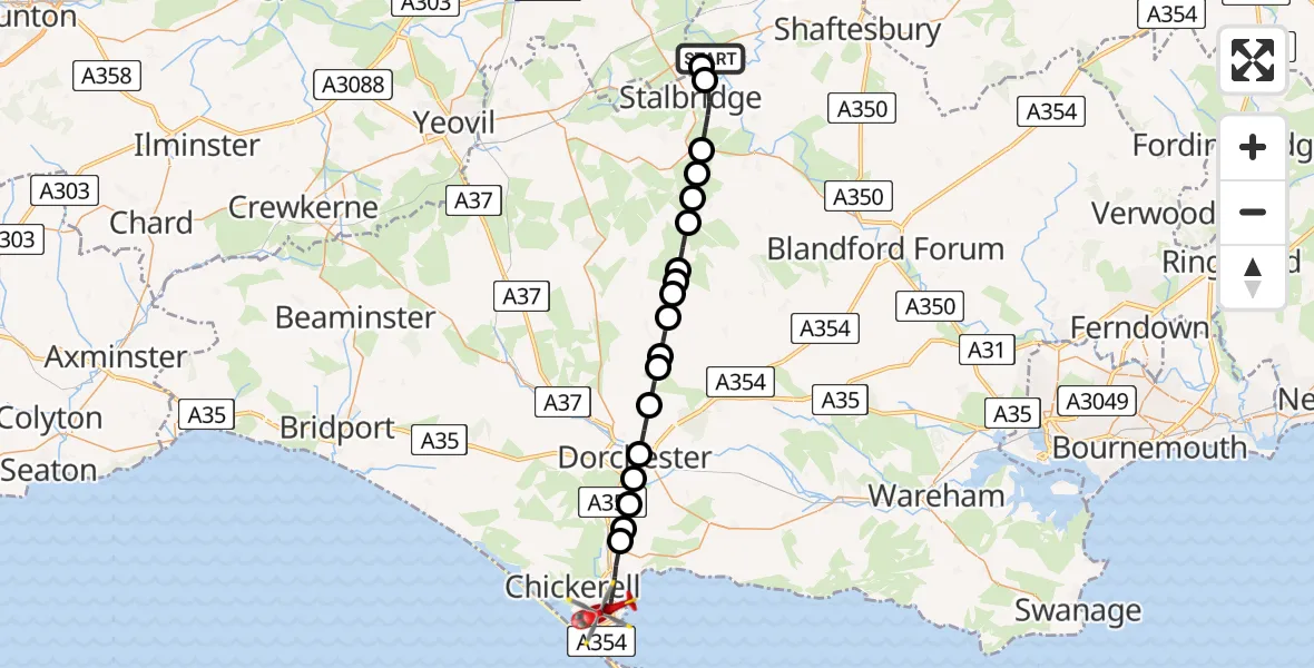
On Thursday, 16 April 2026 at 11:36, a Air Ambulance Helicopter departed from Henstridge Airfield to Weymouth. It was the Air Ambulance Helicopter with registration number G-DSAA. The flight lasted 16 minutes. During that period, the aircraft travelled 28 miles at an average speed of 109 miles per hour at a maximum altitude of 1225 feet.
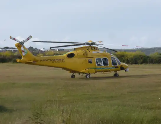
Helicopter: G-DSAA
The helicopter G-DSAA is used as a air ambulance helicopter. The main purpose of this aircraft is to transport a Mobile Medical Team to an incident as quickly as possible, enabling the trauma doctor to provide immediate first aid on site. The aircraft is flying this flight as Air Ambulance Helicopter.
Photo: Andrew Bone
29 miles
1225 feet
109 mph
16 minutes
11:36
11:52

Route
Park View Grove, Dorset11:52
Weymouth, Dorset11:49
Upwey, Dorset11:48
Dorchester, Dorset11:48
Winterborne Herringston, Dorset11:47
Dorchester, Dorset11:47
Stinsford, Dorset11:46
Piddlehinton, Dorset11:45
White Lackington, Dorset11:45
Piddletrenthide, Dorset11:44
Plush, Dorset11:44
Piddletrenthide, Dorset11:43
Plush, Dorset11:43
Mappowder, Dorset11:42
Hazelbury Bryan, Dorset11:42
King's Stag, Dorset11:41
Lydlinch, Dorset11:41
Stalbridge, Dorset11:39
Henstridge, Somerset11:39
Henstridge Airfield, Templecombe, Somerset11:36
Live flights
Today
Flights Weymouth
Police Helicopter to Owermoigne22 Jun 17:35
Police Helicopter to Weymouth, Southdown Road22 Jun 16:37
Air Ambulance Helicopter to Weymouth, Fleet Lane23 May 17:00
Air Ambulance Helicopter to Henstridge Airfield19 May 20:25
Air Ambulance Helicopter to Henstridge Airfield28 Apr 13:48
Helicopter flights on your website?
You can easily display helicopter flights on your own website. Use the embed code.
