Air Ambulance Helicopter to Nottingham Heliport
Wednesday, 15 April 2026 | 12:39 | From City of Nottingham
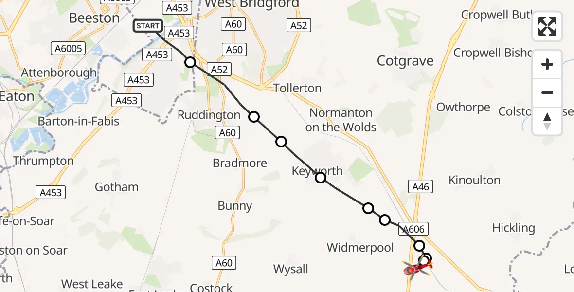
On Wednesday, 15 April 2026 at 12:39, a Air Ambulance Helicopter departed from City of Nottingham to Nottingham Heliport. It was the Air Ambulance Helicopter with registration number G-DRLA. The flight lasted 4 minutes. During that period, the aircraft travelled 9 miles at an average speed of 124 miles per hour at a maximum altitude of 950 feet.
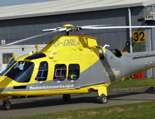
Helicopter: G-DRLA
The helicopter G-DRLA is used as an ambulance helicopter. The helicopter is equipped with a stretcher for transporting patients. The helicopter is often used to transport to hospitals.
Photo: Alec Wilson
10 miles
950 feet
124 mph
5 minutes
12:39
12:44

Route
Nottingham Heliport, 12:44
Nottingham Heliport12:43
Hickling, Nottinghamshire12:43
Rushcliffe, Nottinghamshire12:43
Widmerpool, Nottinghamshire12:42
Stanton on the Wolds, Nottinghamshire12:42
Keyworth, Nottinghamshire12:42
Bradmore, Nottinghamshire12:41
Ruddington, Nottinghamshire12:41
West Bridgford, Nottinghamshire12:40
Thane Road, Nottingham12:39
Live flights
Today
Helicopter flights on your website?
You can easily display helicopter flights on your own website. Use the embed code.
