Air Ambulance Helicopter to Swinbrook, Upper End
Tuesday, 14 April 2026 | 12:53 | From RAF Benson
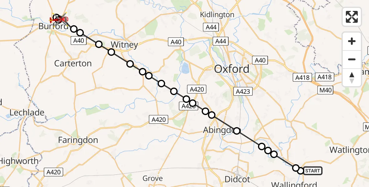
On Tuesday, 14 April 2026 at 12:53, a Air Ambulance Helicopter departed from RAF Benson to Swinbrook. It was the Air Ambulance Helicopter with registration number G-TVLY. The flight lasted 14 minutes. During that period, the aircraft travelled 29 miles at an average speed of 129 miles per hour at a maximum altitude of 1475 feet.
Helicopter: G-TVLY
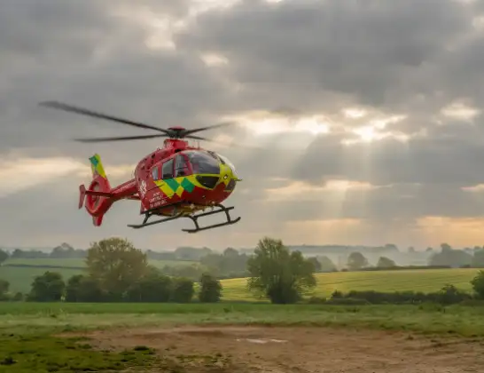
The helicopter G-TVLY is used as a air ambulance helicopter. The main purpose of this aircraft is to transport a Mobile Medical Team to an incident as quickly as possible, enabling the trauma doctor to provide immediate first aid on site. The aircraft is flying this flight as Air Ambulance Helicopter.
Photo: Tony Melony
30 miles
1475 feet
129 mph
14 minutes
12:53
13:06

Route
Upper End, Oxfordshire13:06
Swinbrook, Oxfordshire13:06
Fulbrook, Oxfordshire13:06
Swinbrook, Oxfordshire13:03
Asthall, Oxfordshire13:03
Minster Lovell, Oxfordshire13:02
Curbridge, Oxfordshire13:02
Ducklington, Oxfordshire13:01
West Oxfordshire, Oxfordshire13:01
Standlake, Oxfordshire13:00
Stanton Harcourt, Oxfordshire13:00
Northmoor, Oxfordshire12:59
Appleton, Oxfordshire12:59
Besselsleigh, Oxfordshire12:59
Dry Sandford, Oxfordshire12:58
Shippon, Oxfordshire12:58
Abingdon, Oxfordshire12:57
Clifton Hampden, Oxfordshire12:56
Little Wittenham, Oxfordshire12:56
Dorchester-on-Thames, Oxfordshire12:55
Shillingford, Oxfordshire12:54
Benson, Oxfordshire12:54
RAF Benson, Wallingford, Oxfordshire12:53
RAF Benson, Wallingford, Oxfordshire12:53
Live flights
Today
Police Helicopter to East Ardsley, Stoney Lane14 Apr 22:38
Coastguard Helicopter to Mealabost, Steinis14 Apr 21:51
Air Ambulance Aircraft to Cothal, Pitmedden Road14 Apr 21:44
Coastguard Helicopter to Mealabost14 Apr 21:36
Coastguard Helicopter to Inner Seas14 Apr 21:22
Police Helicopter to North Weald Airfield14 Apr 21:14
Air Ambulance Helicopter to RAF Northolt14 Apr 21:00
Coastguard Helicopter to Inner Seas14 Apr 20:33
Police Helicopter to Sewardstonebury, Green Lane14 Apr 20:31
Flights Swinbrook
Air Ambulance Helicopter to Swinbrook, Upper End14 Apr 12:53
Helicopter flights on your website?
You can easily display helicopter flights on your own website. Use the embed code.
