Air Ambulance Helicopter to Bournemouth, Deansleigh Road
Monday, 13 April 2026 | 21:13 | From Royal Bournemouth Hospital
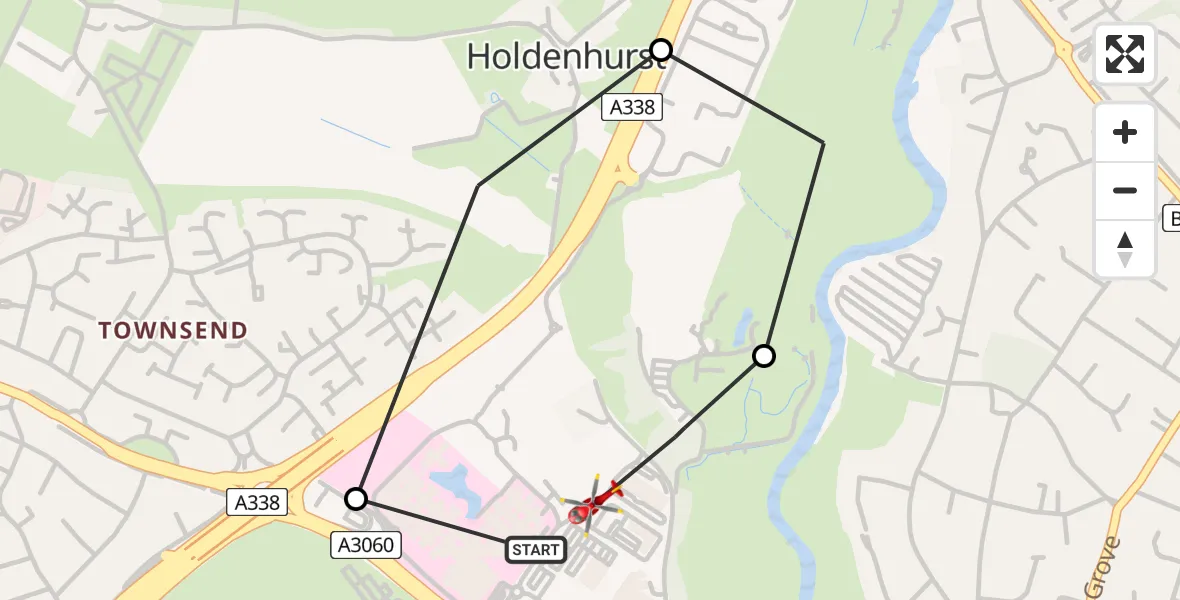
On Monday, 13 April 2026 at 21:13, a Air Ambulance Helicopter departed from Royal Bournemouth Hospital to Bournemouth. It was the Air Ambulance Helicopter with registration number G-DSAA. The flight lasted 4 minutes. During that period, the aircraft travelled 2 miles at an average speed of 26 miles per hour at a maximum altitude of 750 feet.
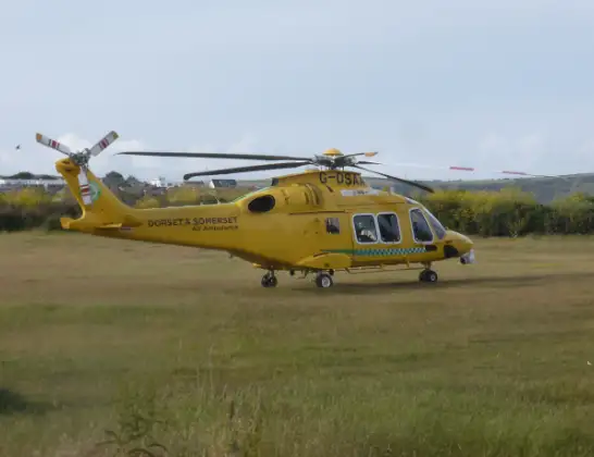
Helicopter: G-DSAA
The helicopter G-DSAA is used as a air ambulance helicopter. The main purpose of this aircraft is to transport a Mobile Medical Team to an incident as quickly as possible, enabling the trauma doctor to provide immediate first aid on site. The aircraft is flying this flight as Air Ambulance Helicopter.
Photo: Andrew Bone
2 miles
750 feet
26 mph
5 minutes
21:13
21:17

Route
Deansleigh Road, Bournemouth, Christchurch and Poole21:17
Christchurch, Bournemouth, Christchurch and Poole21:16
Hurn, Bournemouth, Christchurch and Poole21:16
Castle Lane East, Bournemouth, Christchurch and Poole21:15
Royal Bournemouth Hospital, Bournemouth21:14
Royal Bournemouth Hospital, Bournemouth21:13
Live flights
Today
Coastguard Helicopter to Wasdale18:50:25
Flights Bournemouth
Police Helicopter to Bournemouth Airport8 Jul 16:52
Police Helicopter to Bournemouth Airport6 Jul 18:13
Police Helicopter to Bournemouth Airport30 Jun 14:17
Police Helicopter to Bournemouth Airport23 Jun 16:37
Helicopter flights on your website?
You can easily display helicopter flights on your own website. Use the embed code.
