Air Ambulance Helicopter to City of Westminster, Belvedere Road
Sunday, 12 April 2026 | 19:17 | From Royal London Hospital
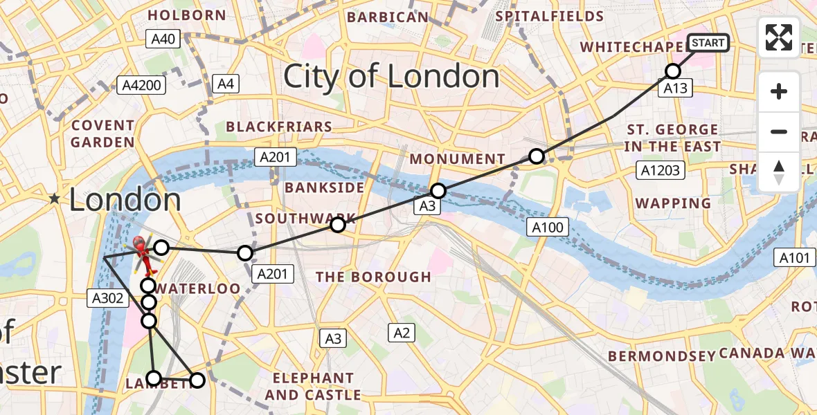
On Sunday, 12 April 2026 at 19:17, a Air Ambulance Helicopter departed from Royal London Hospital to City of Westminster. It was the Air Ambulance Helicopter with registration number G-LAAA. The flight lasted 7 minutes. During that period, the aircraft travelled 5 miles at an average speed of 41 miles per hour at a maximum altitude of 1050 feet.
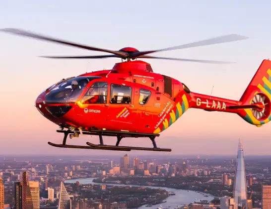
Helicopter: G-LAAA
The helicopter G-LAAA is used as a air ambulance helicopter. The main purpose of this aircraft is to transport a Mobile Medical Team to an incident as quickly as possible, enabling the trauma doctor to provide immediate first aid on site. The aircraft is flying this flight as Air Ambulance Helicopter.
Photo: Ton Snoei
5 miles
1050 feet
41 mph
7 minutes
19:17
19:24

Route
Belvedere Road, Greater London - Westminster19:24
City of Westminster, Westminster19:23
City of Westminster, Lambeth19:23
Lambeth, Lambeth19:22
Elephant and Castle, Lambeth19:22
Lambeth, Lambeth19:22
City of Westminster, Westminster19:21
Waterloo, Southwark19:21
The Borough, Southwark19:21
The Borough, City of London19:21
Lloyds Chambers, Tower Hamlets19:20
Whitechapel, Tower Hamlets19:20
Royal London Hospital, London19:19
Royal London Hospital, London19:17
Live flights
Police Helicopter on its way from East Ardsley12 Apr 23:53
Today
Police Helicopter to Hawarden Airport12 Apr 23:37
Police Helicopter to Hawarden Airport12 Apr 23:32
Police Helicopter to Hawarden Airport12 Apr 23:27
Air Ambulance Helicopter to Henstridge Airfield12 Apr 23:07
Police Helicopter to Sewardstonebury, Bury Road12 Apr 23:02
Air Ambulance Helicopter to Inner Seas12 Apr 22:44
Helicopter flights on your website?
You can easily display helicopter flights on your own website. Use the embed code.
